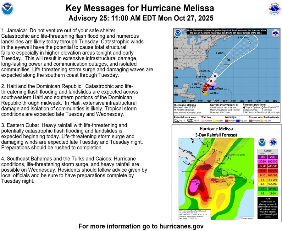
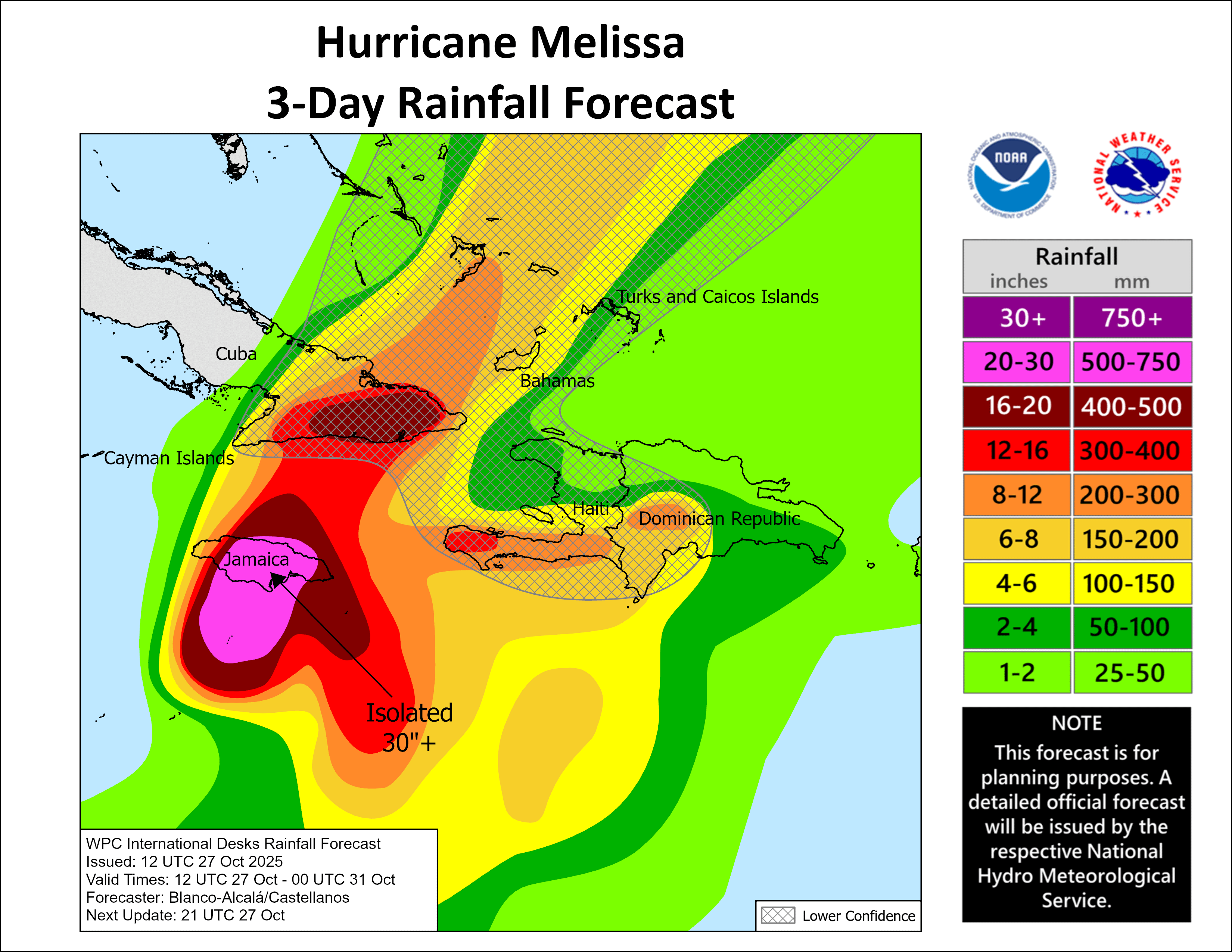
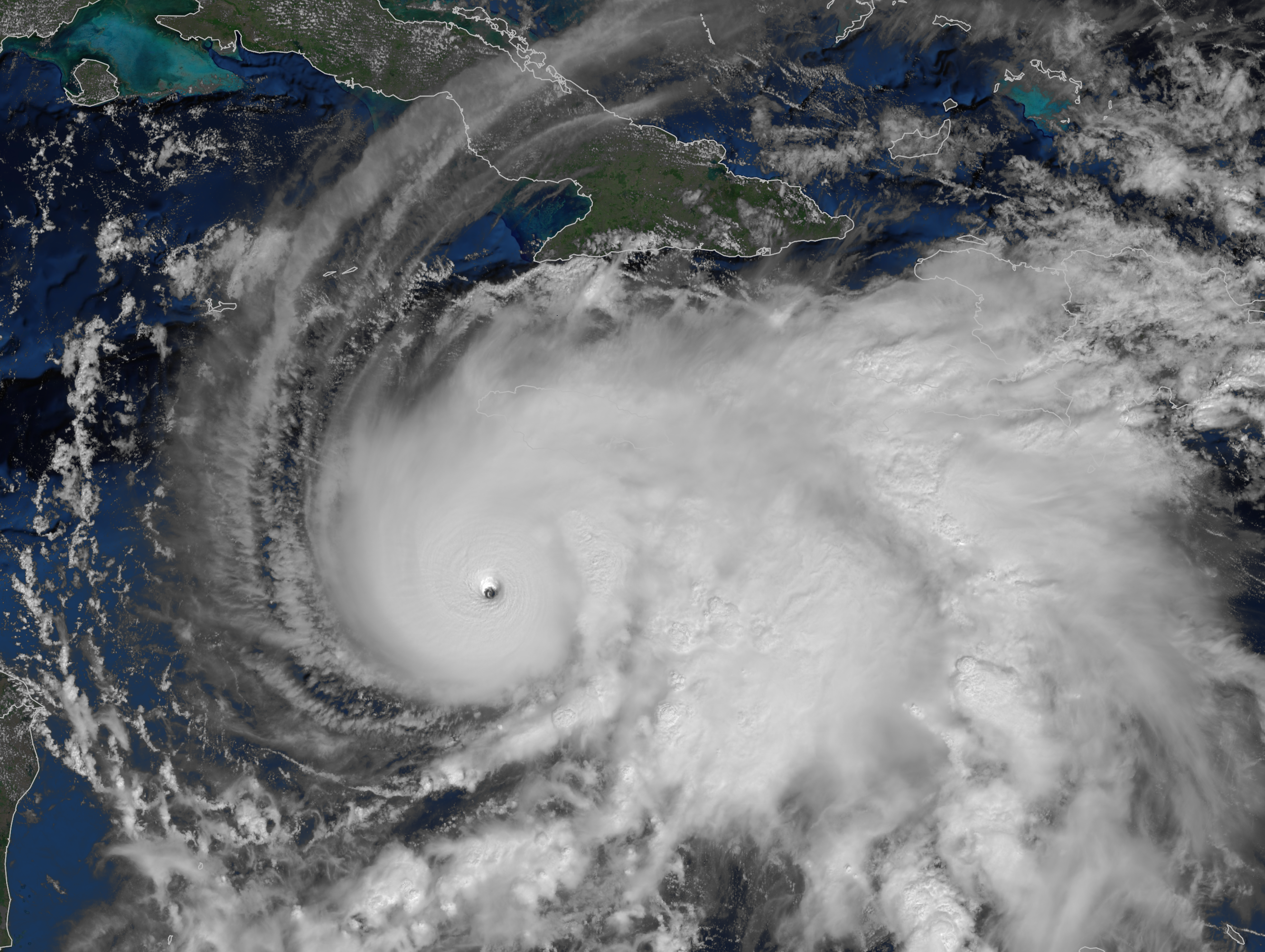
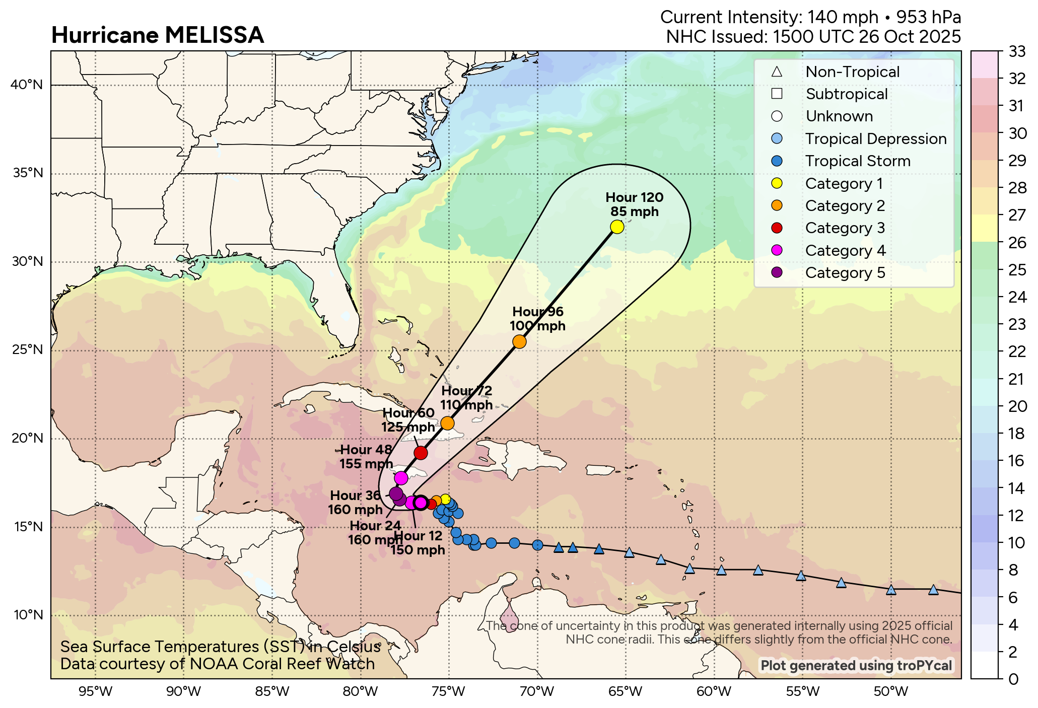
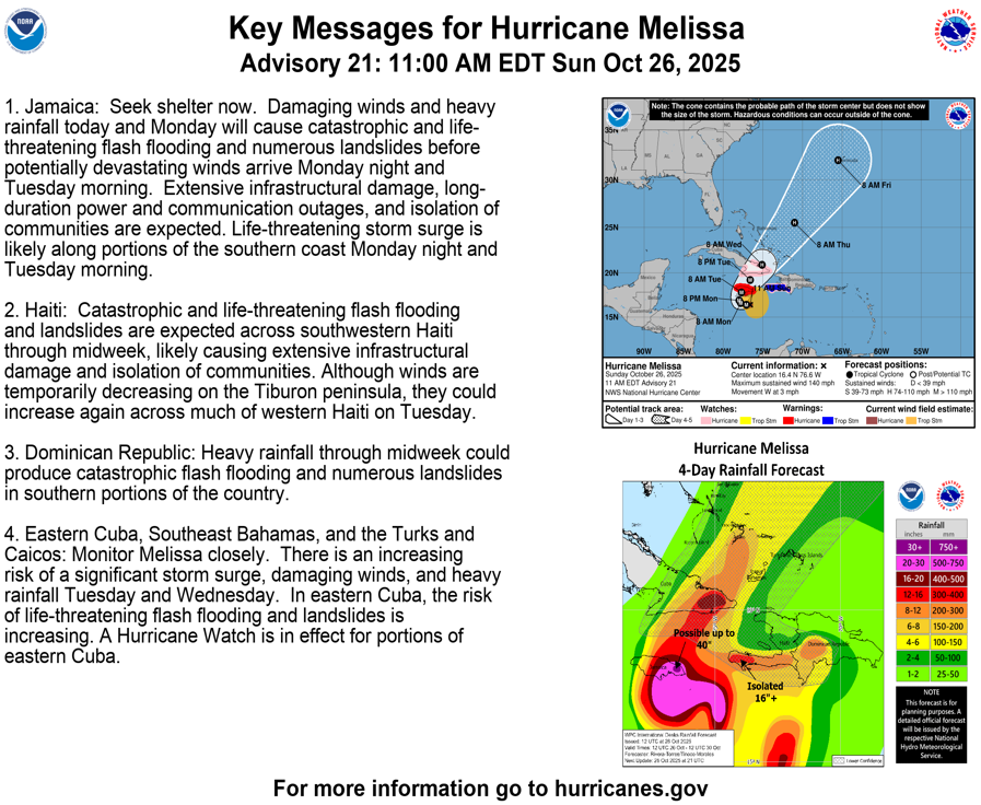
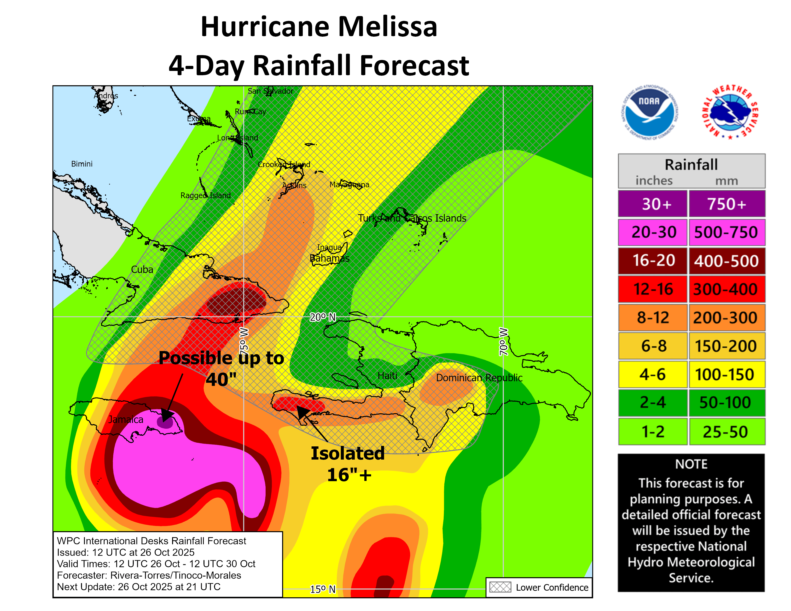
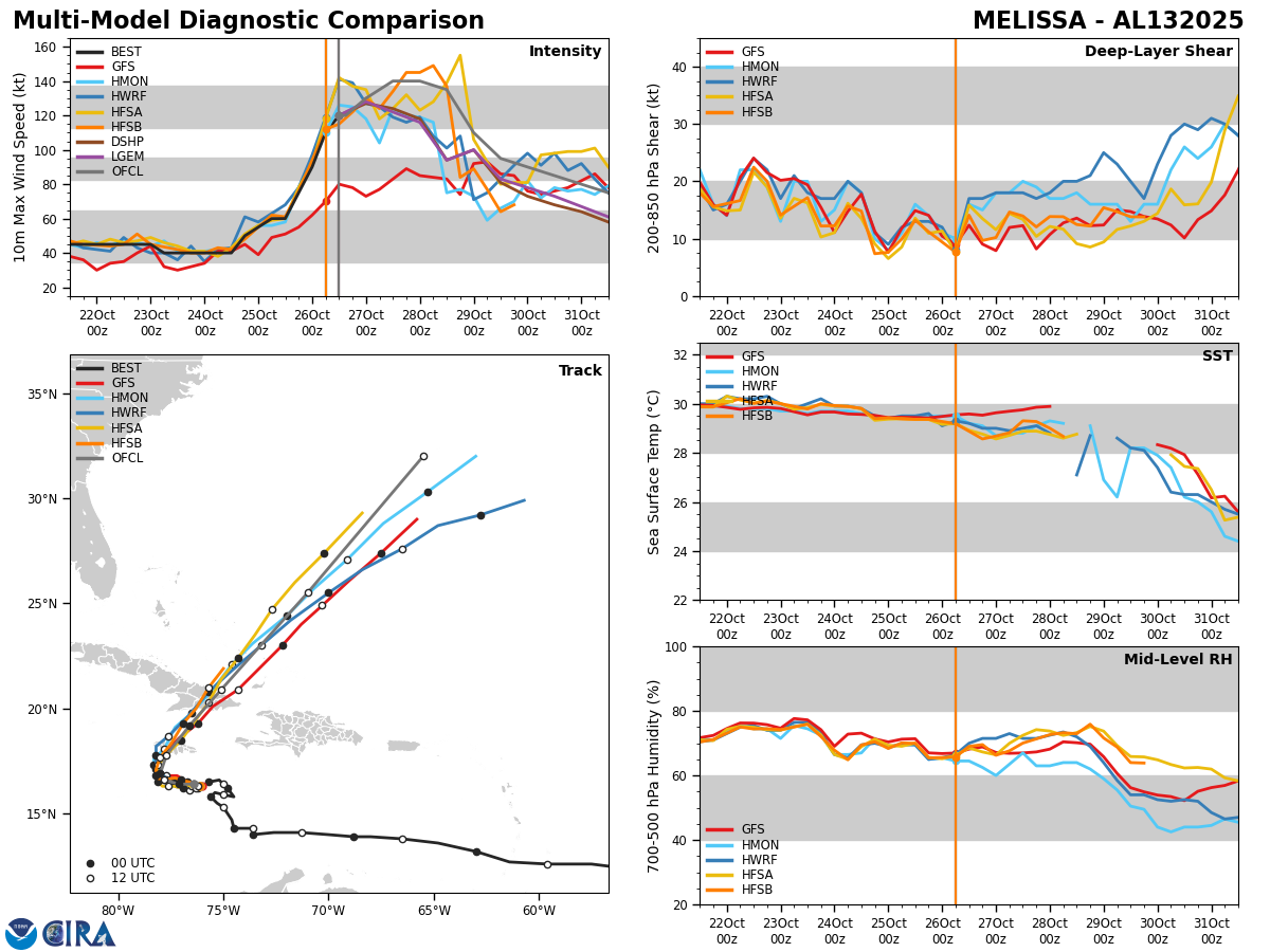
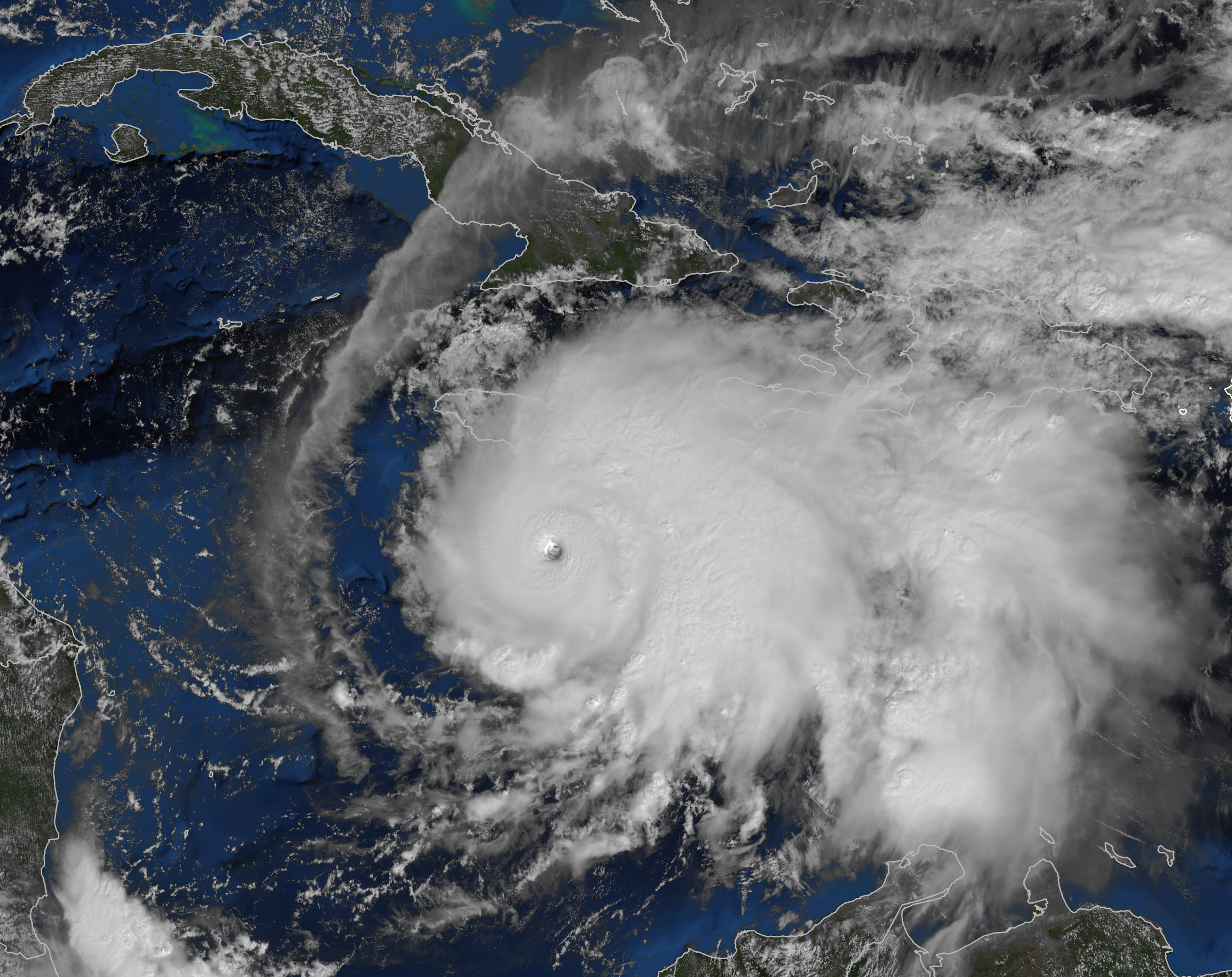
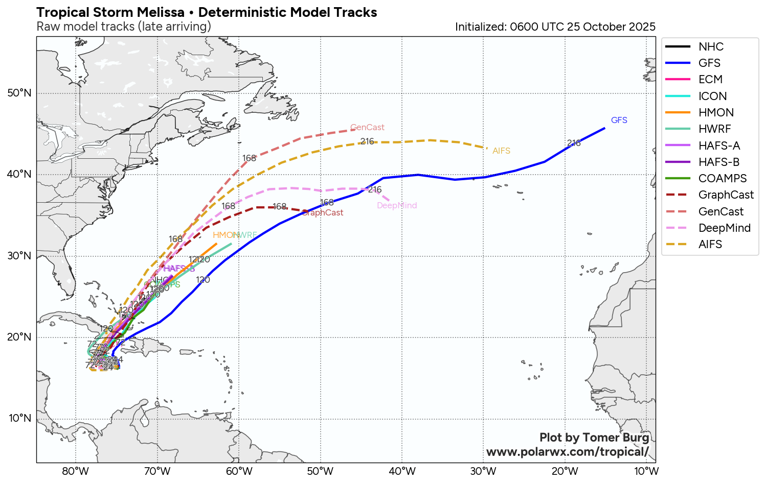
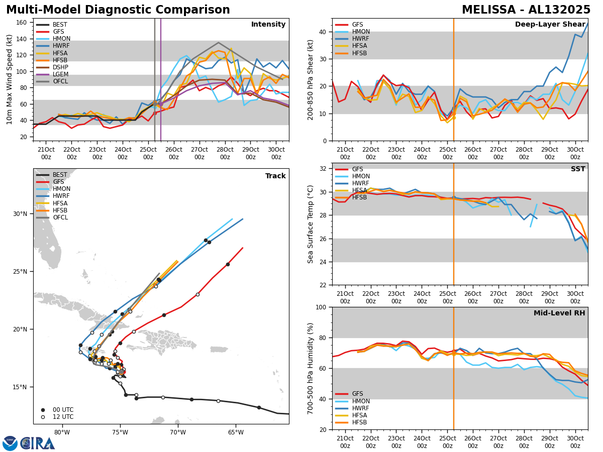
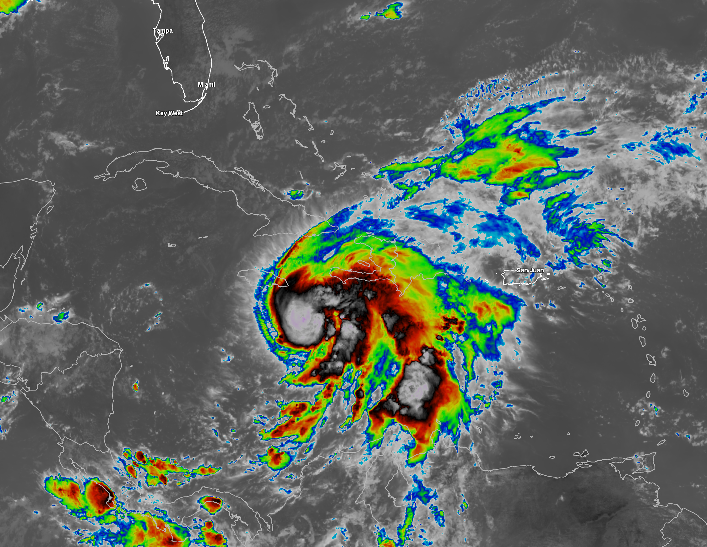
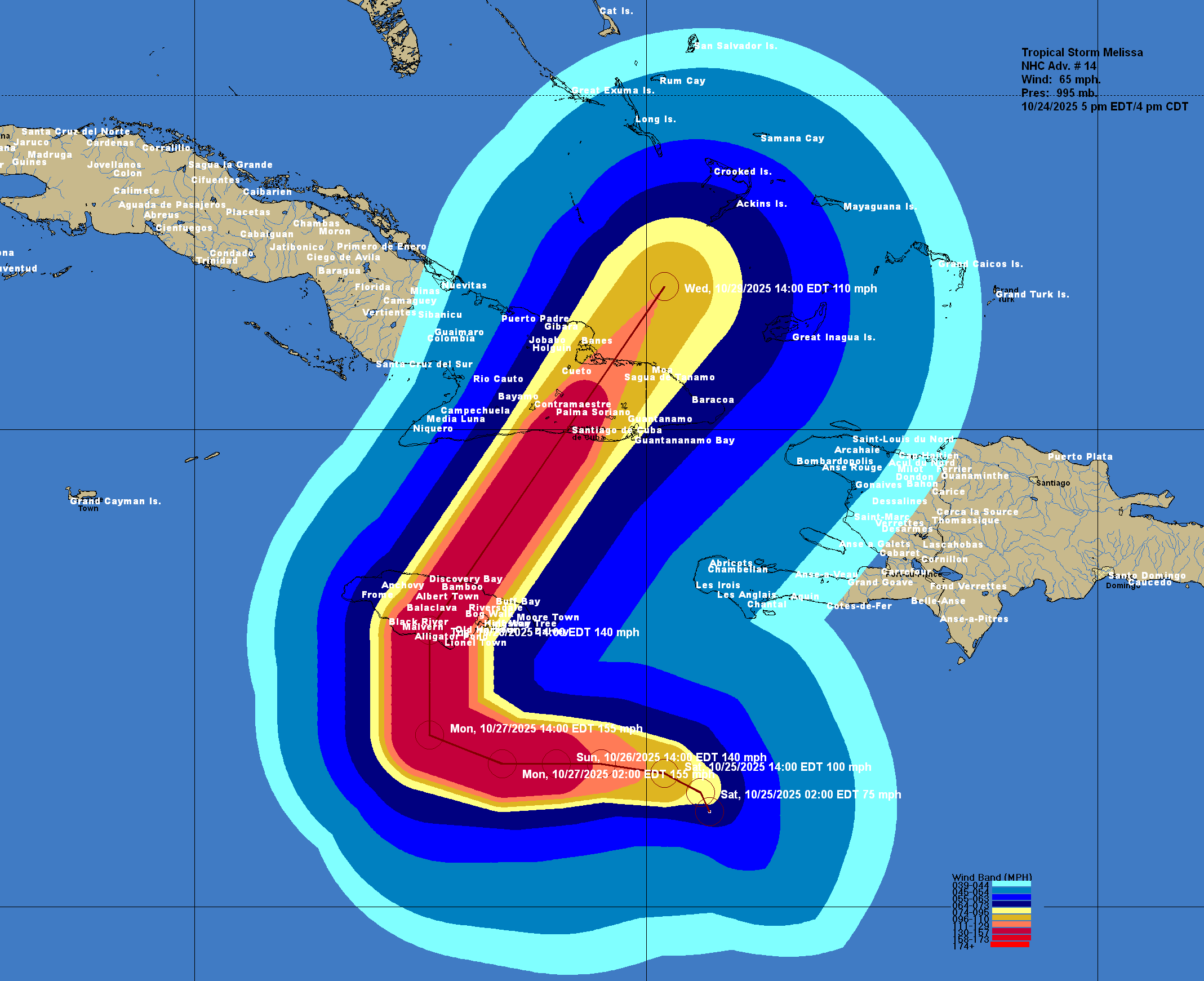
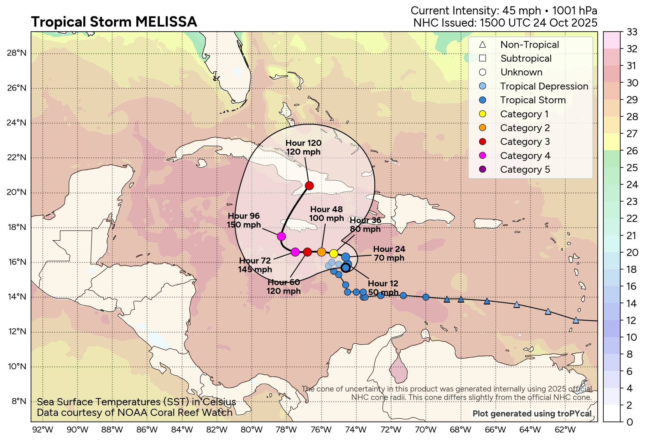
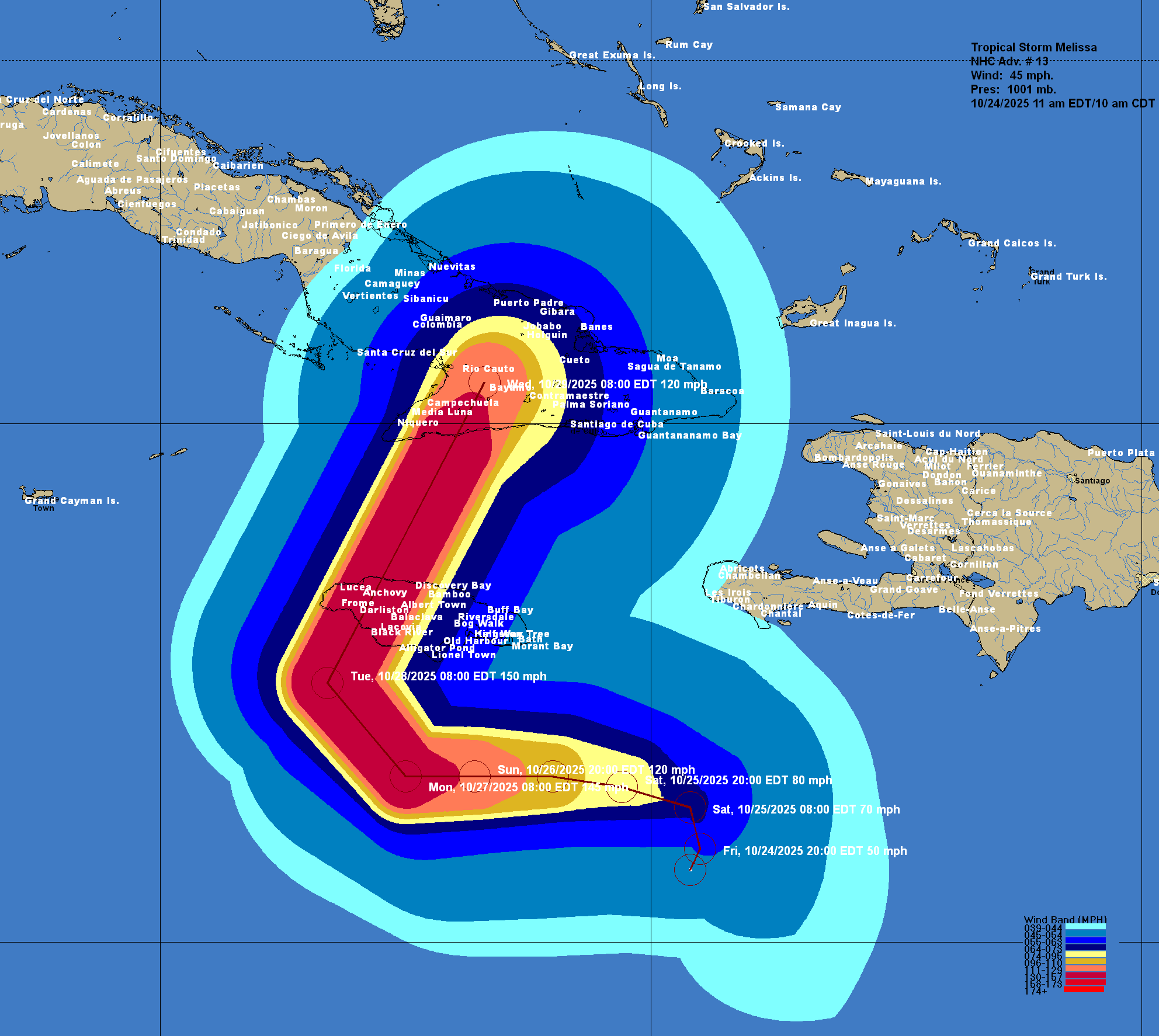
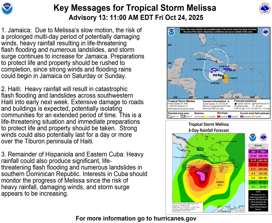
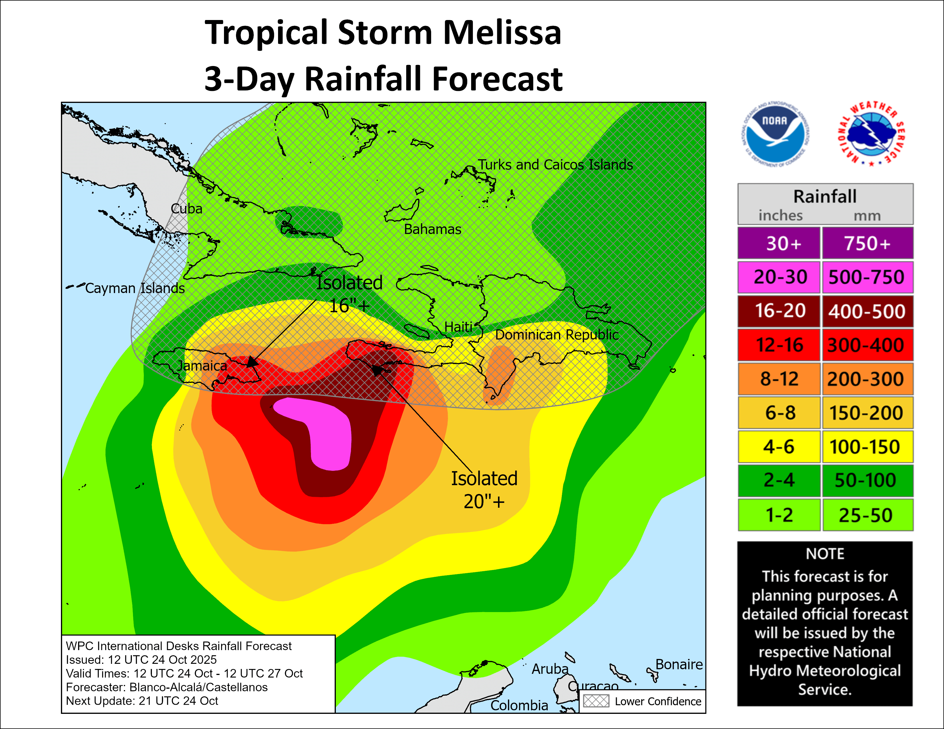
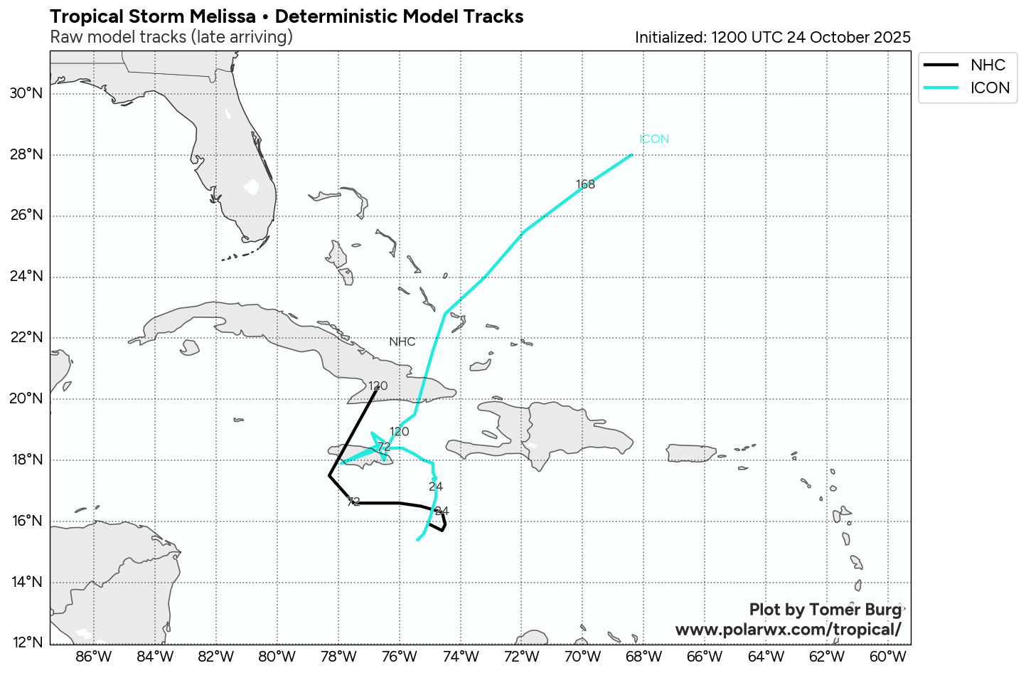
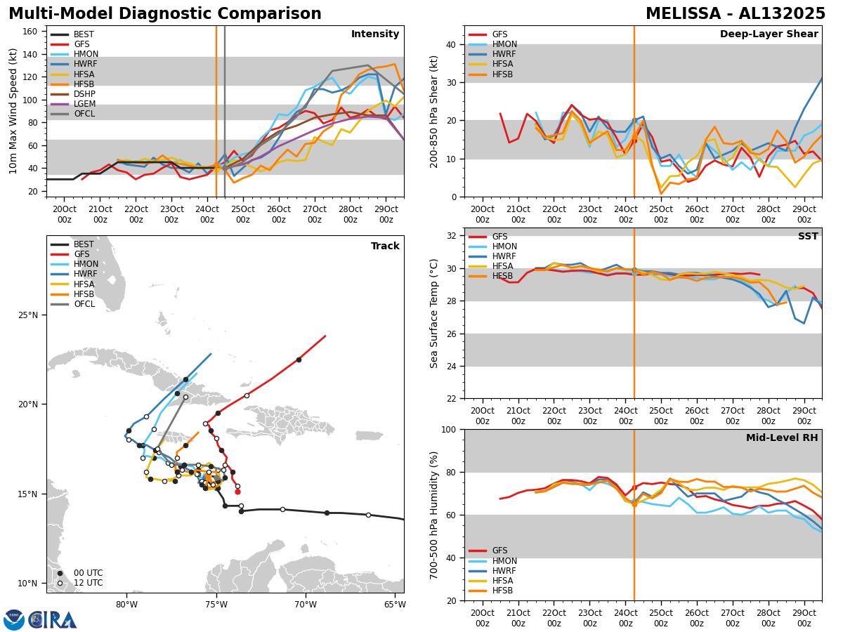
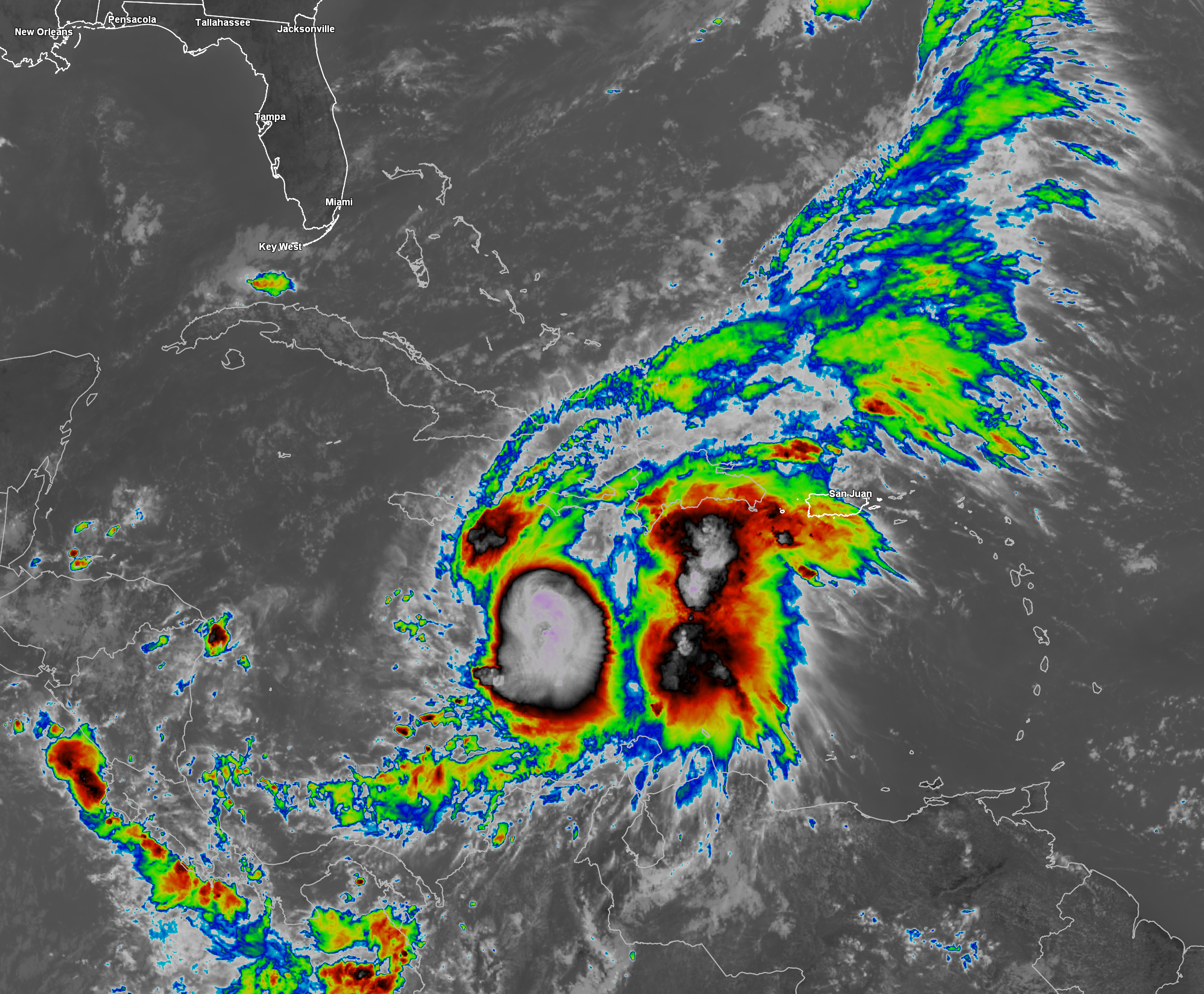
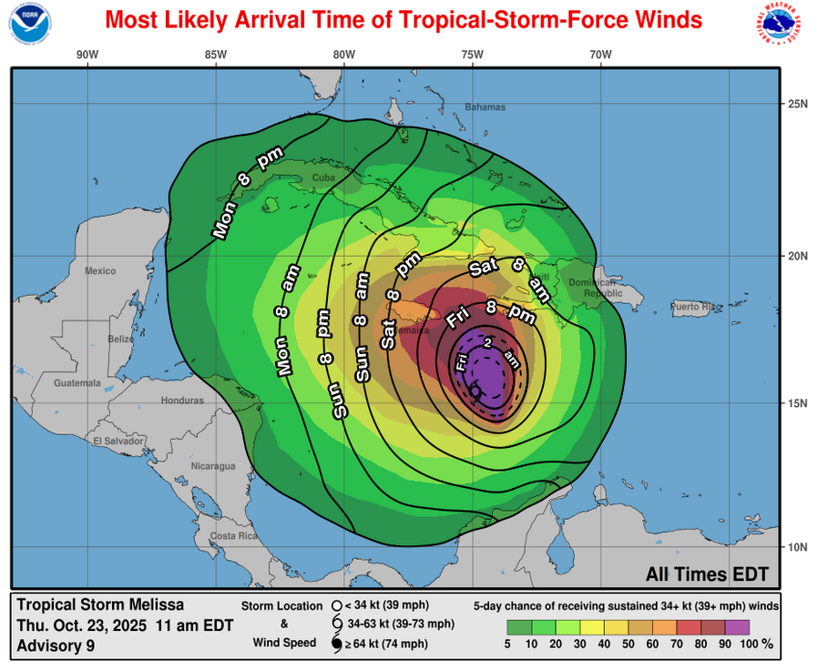
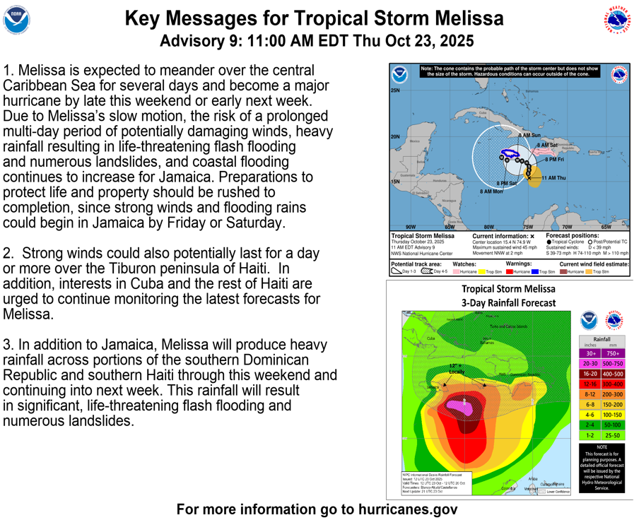
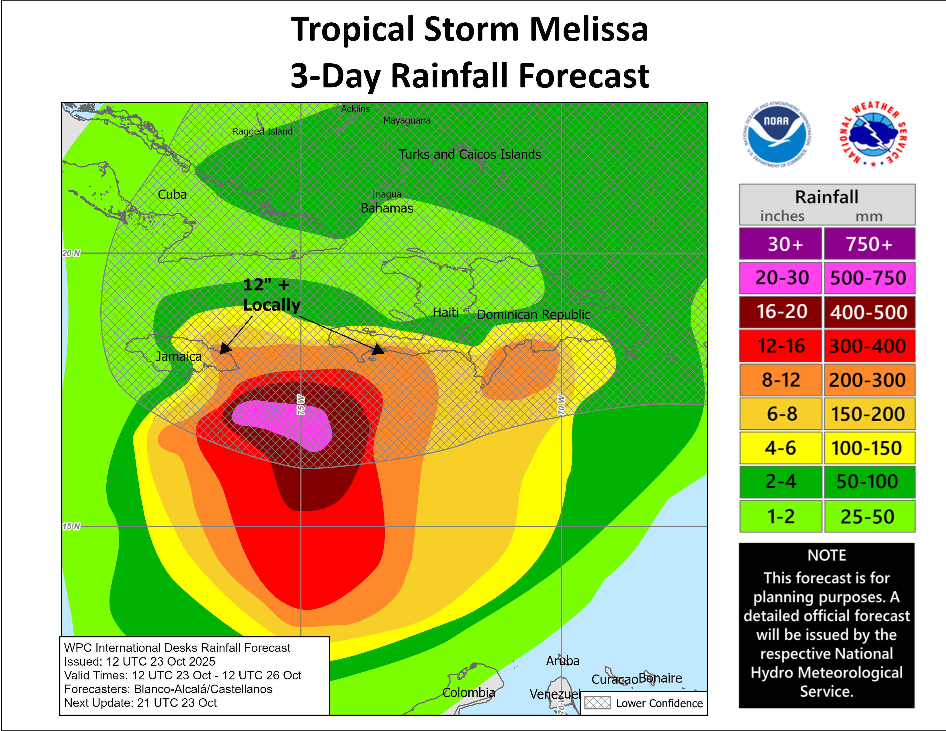
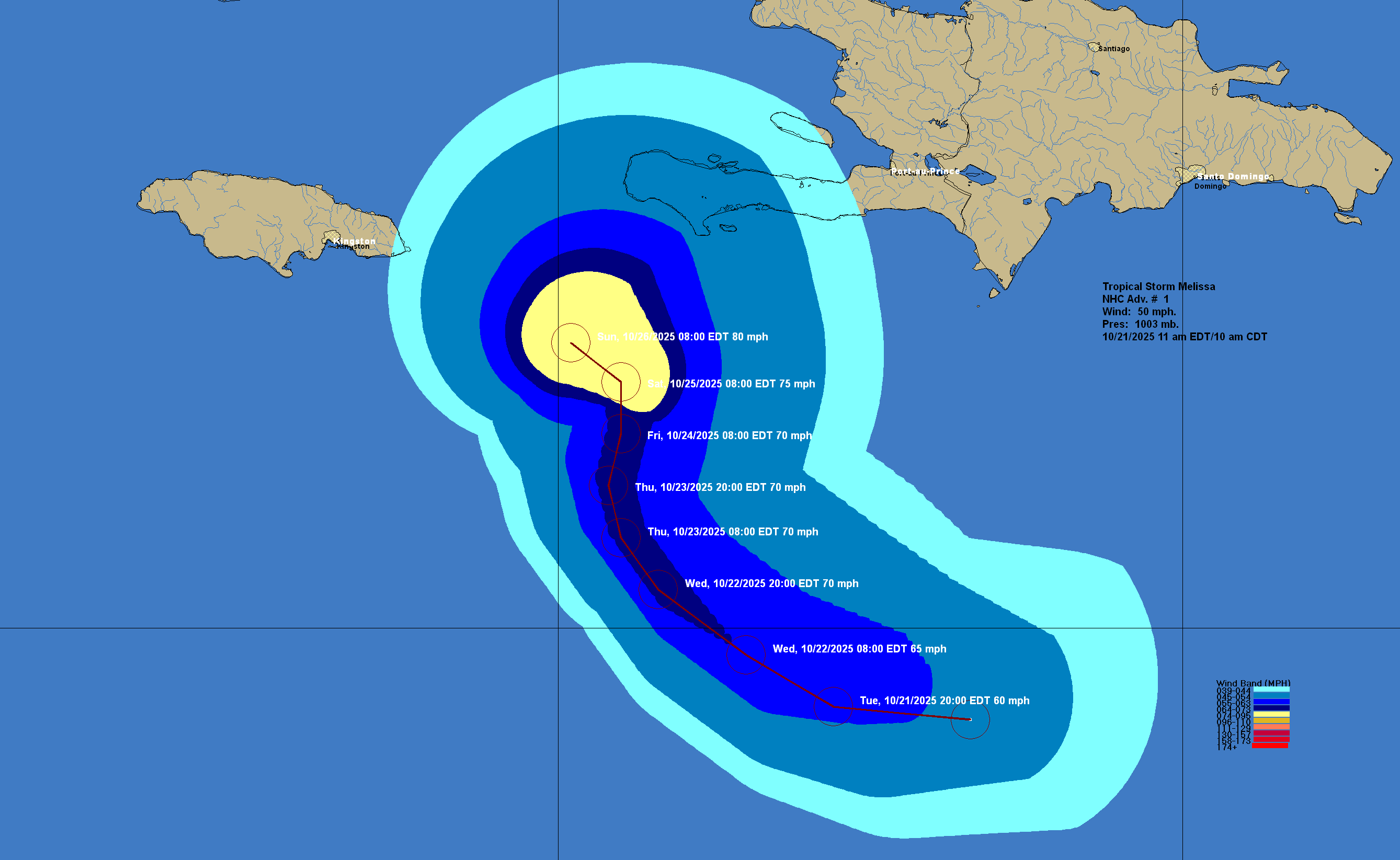
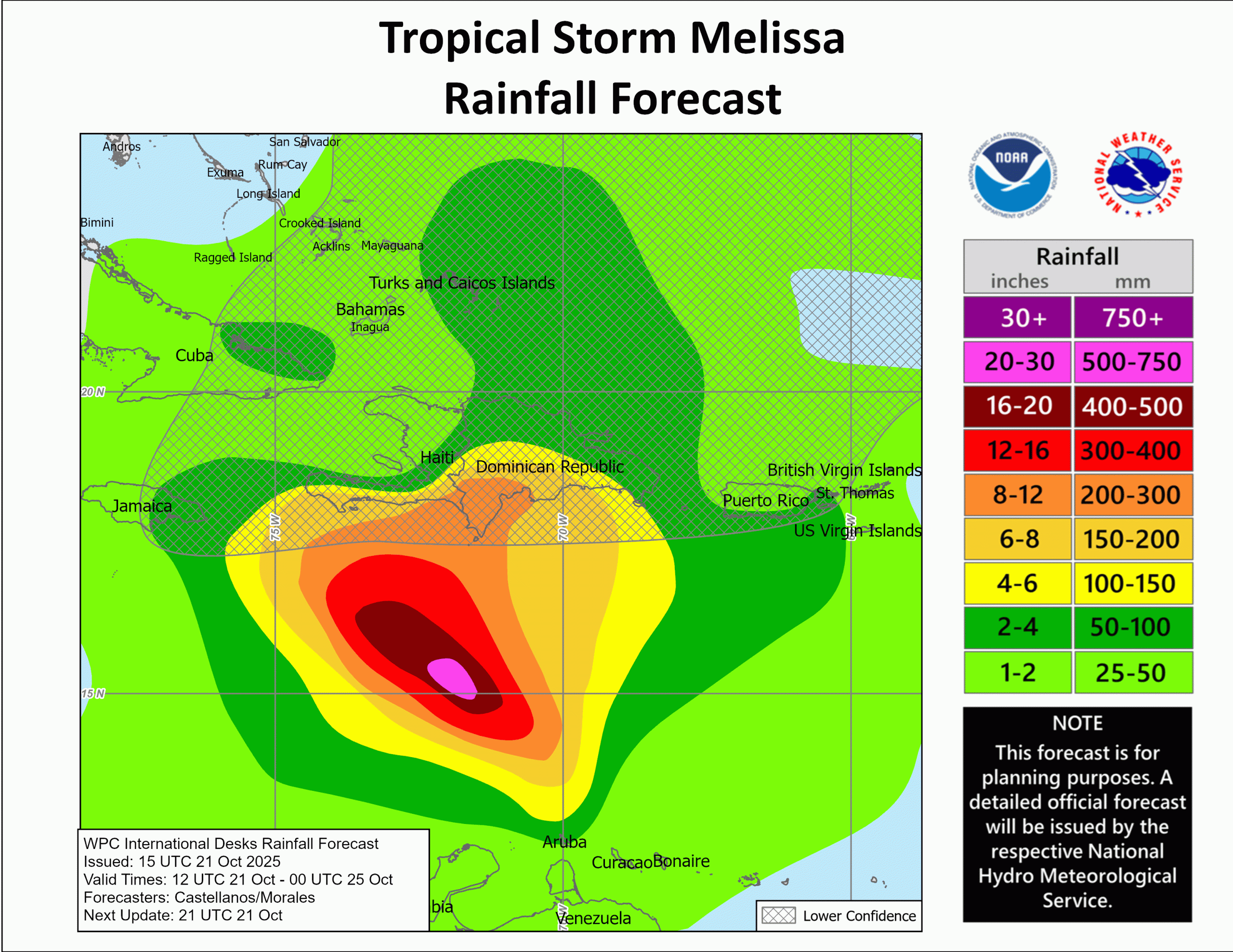
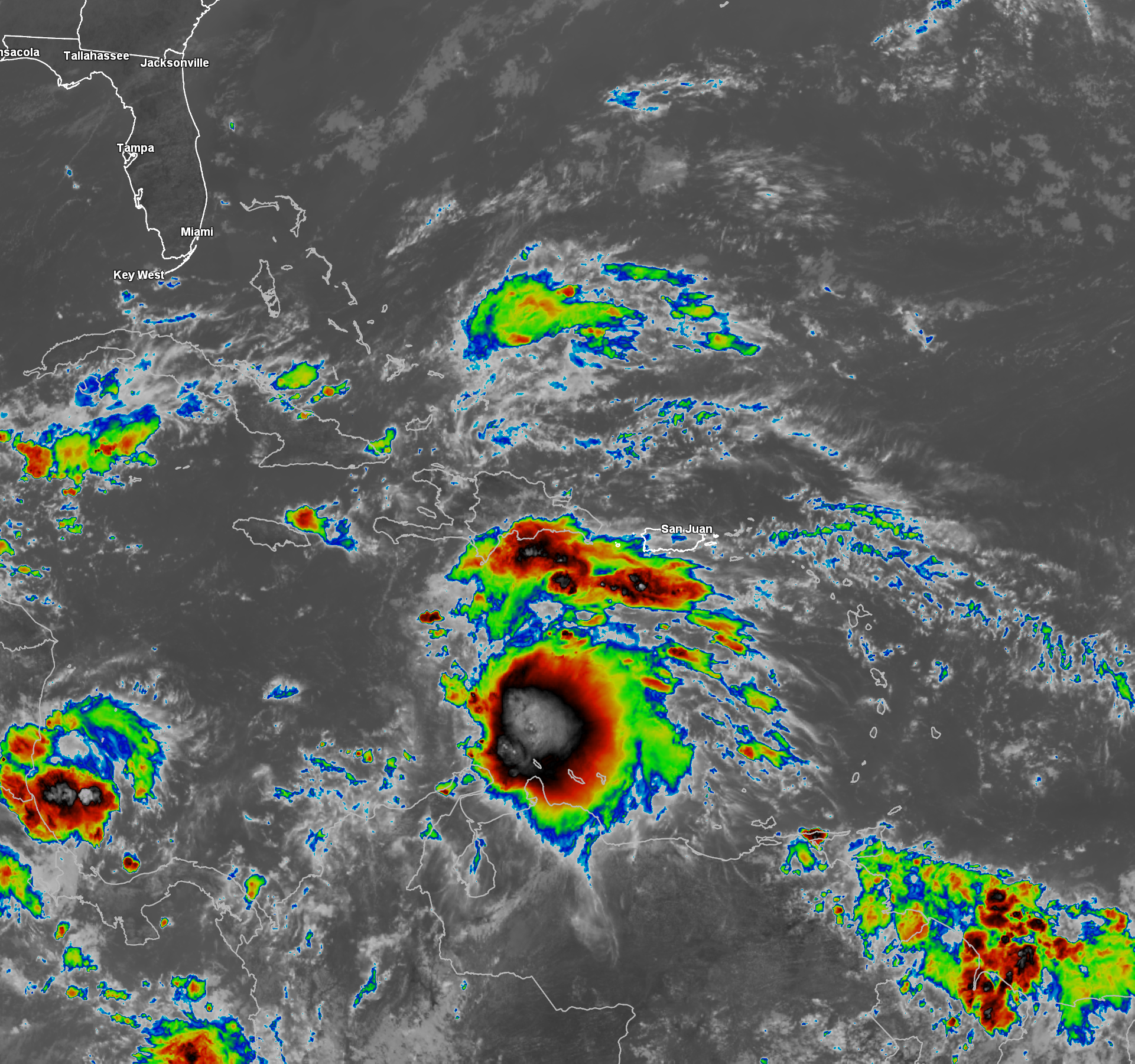
Hurricane Melissa: After devastating western Jamaica, including Black River and Montego Bay, Melissa made a second landfall early this morning (around 3:10 am EDT) in eastern Cuba as a 120 mph Category 3 hurricane. Strong winds of up to hurricane force, a life threatening storm surge and extremely heavy rain with catastrophic flooding and mudslides will continue across eastern Cuba through this afternoon.
A word of caution when viewing the pictures and videos coming out of Jamaica and eastern Cuba – Use a lot of skepticism when you see them. Fake, AI-generated photos and videos of the hurricane damage have been rampant. It’s been tough for me to discern what is real and what is fake, so I’ve been trying to use reputable sources, including the chasers that were in Jamaica. The verified photos and videos from Black River, St. Elizabeth and Montego Bay do show extreme amounts of damage, including videos of some of Black River being leveled and completely destroyed. Sadly, I think that we are only see a very small percentage of the actual destruction that has occurred & it’s probably going to be several more days until we realize how bad the damage actually is across western Jamaica.
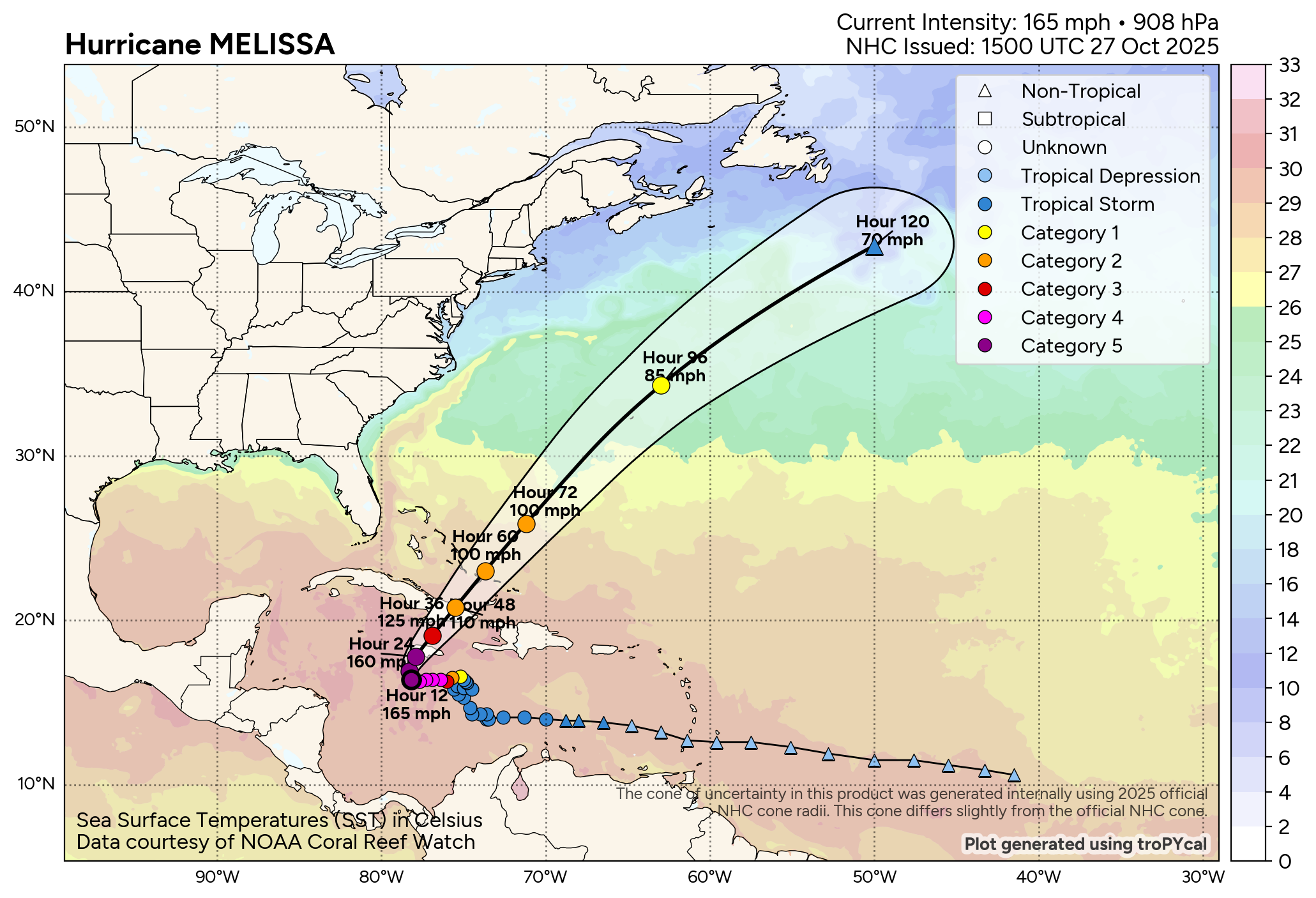
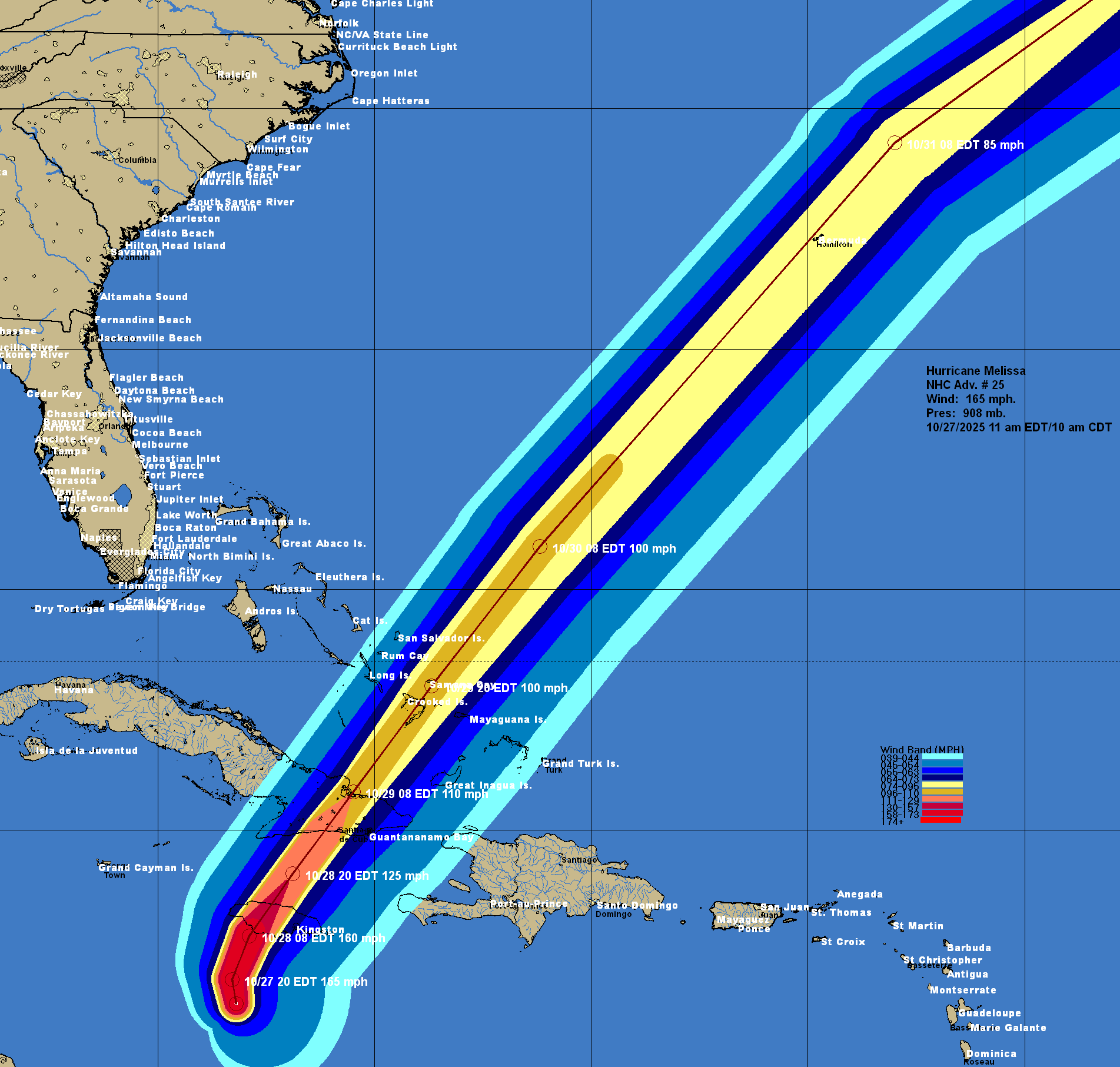
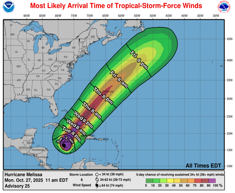
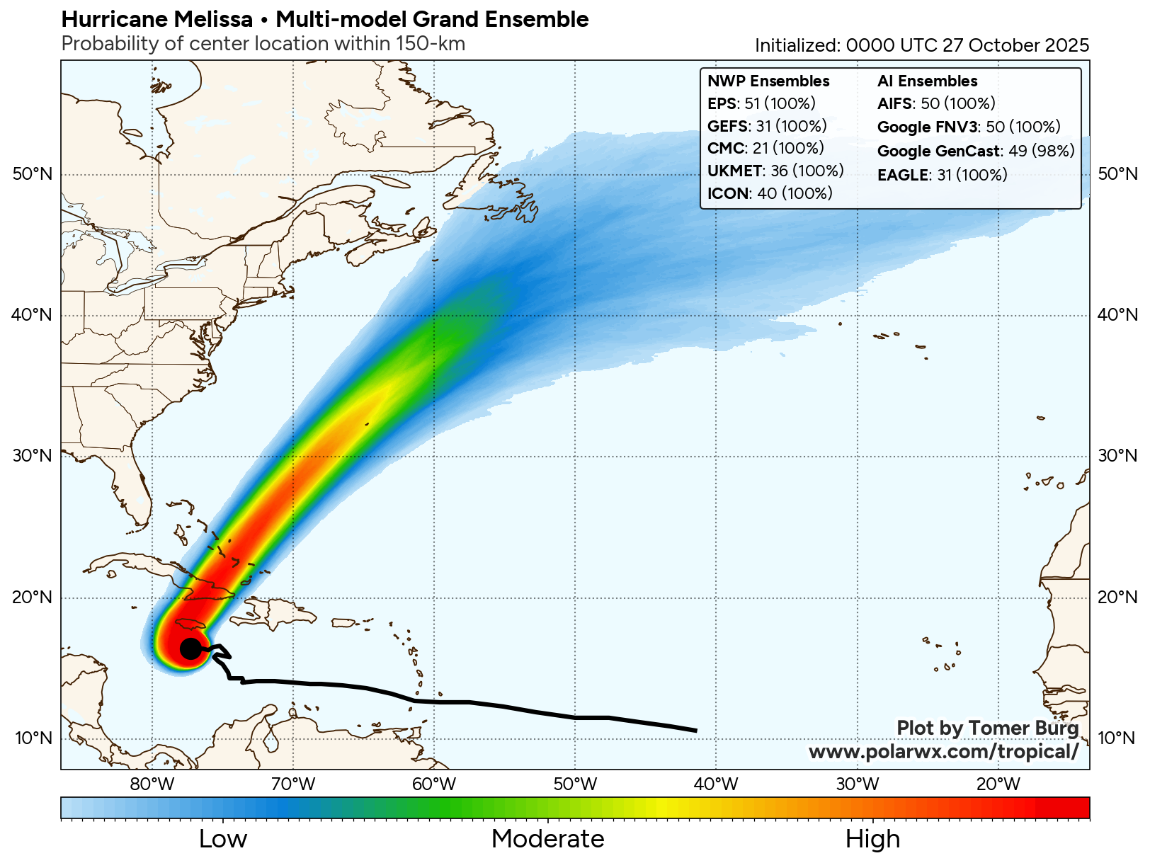
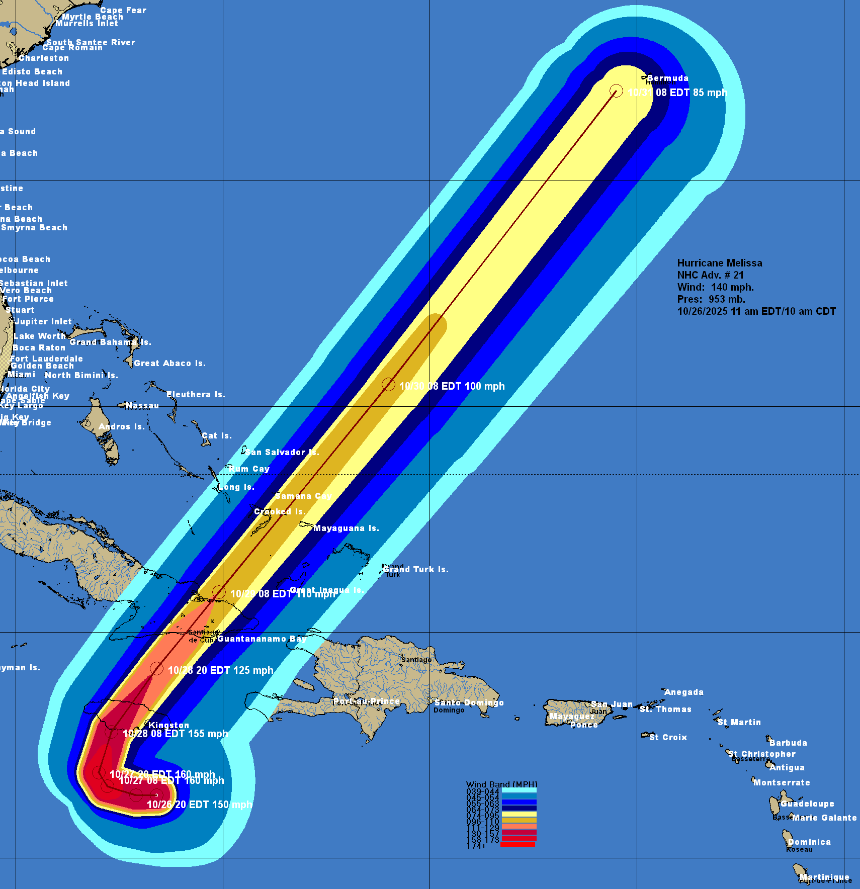
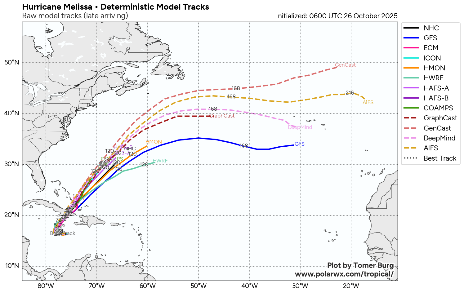
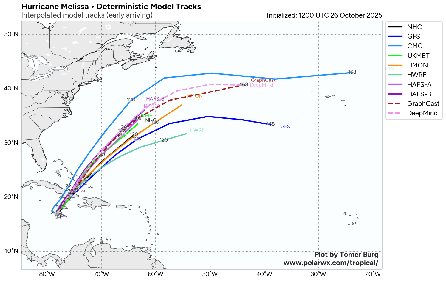
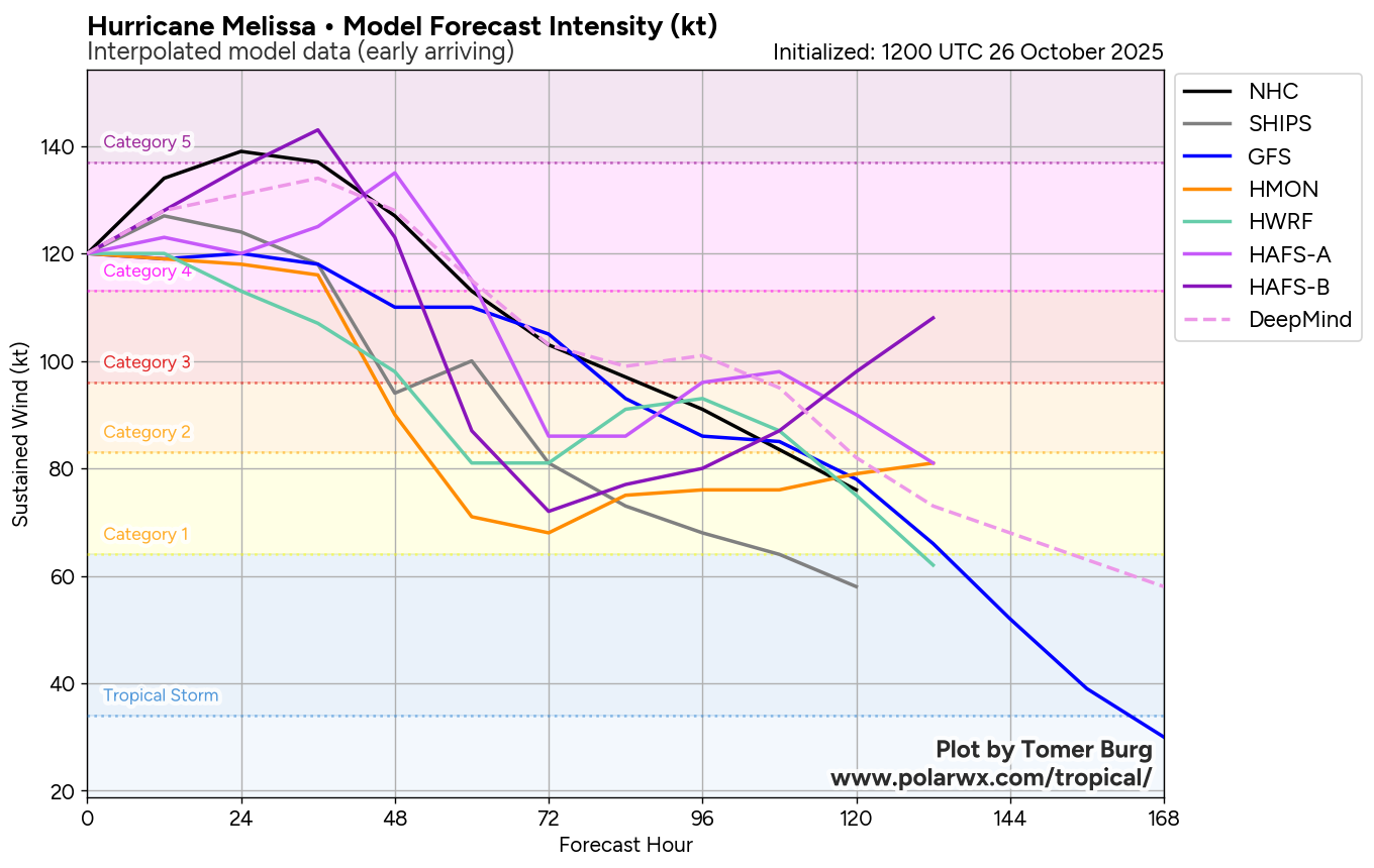
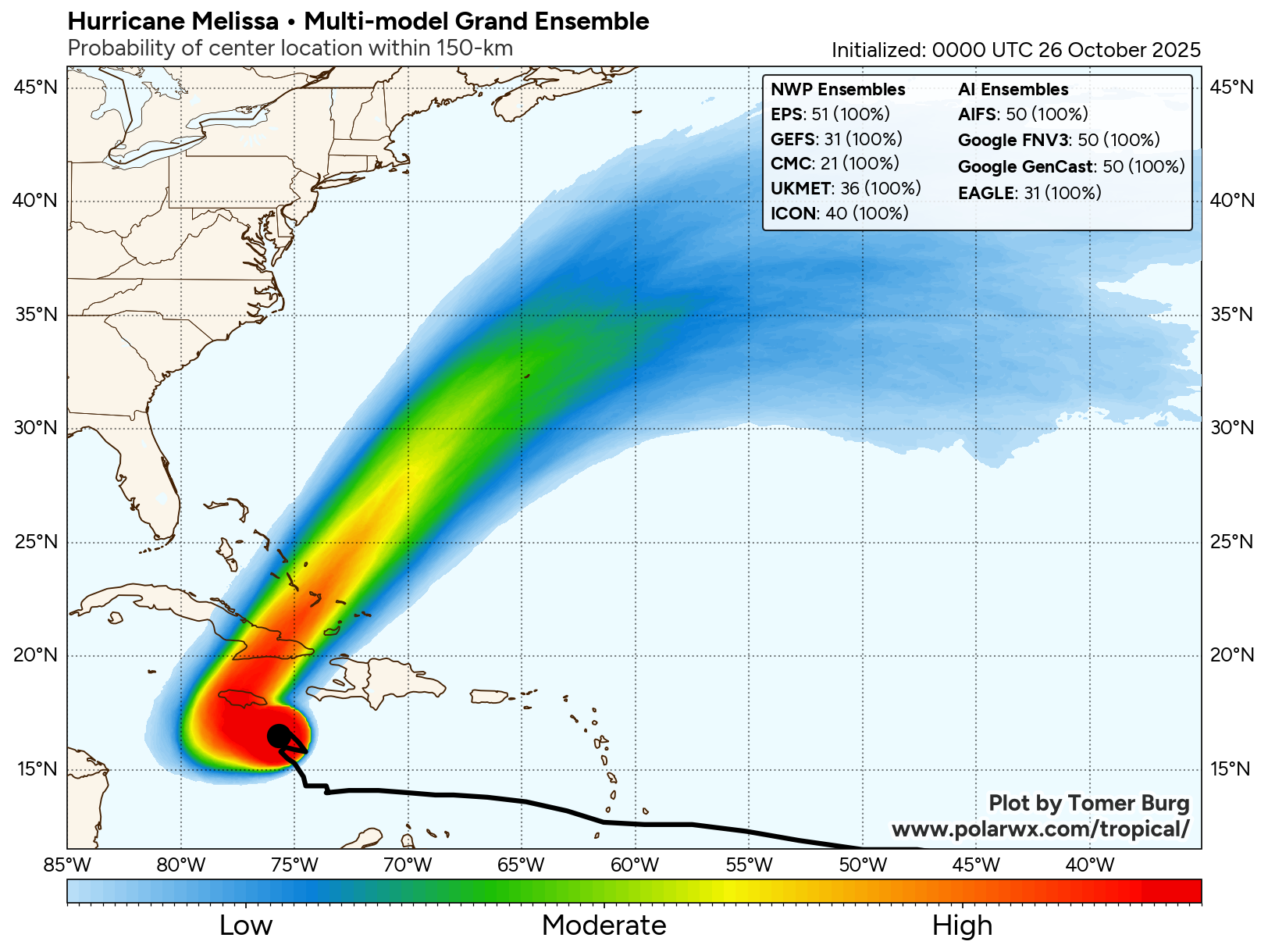
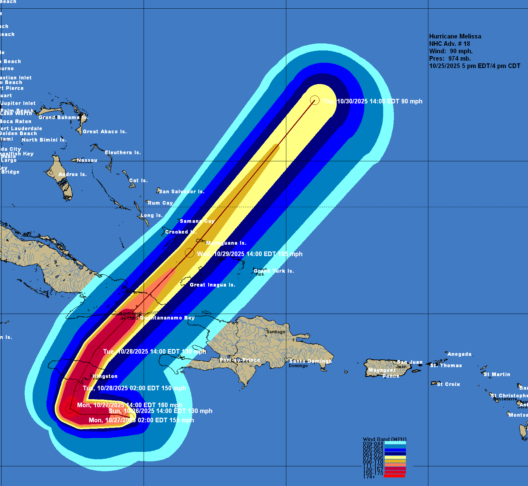
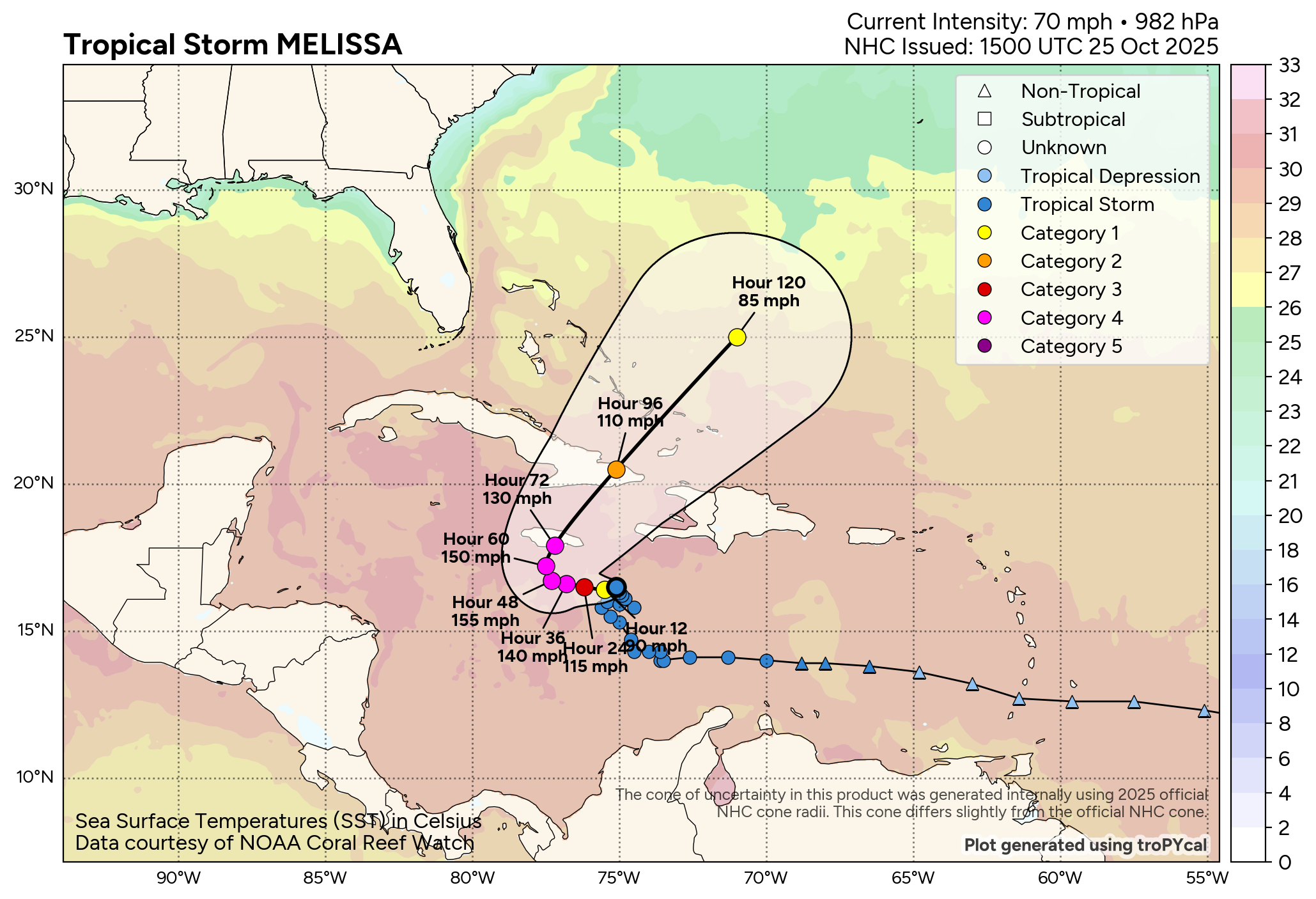
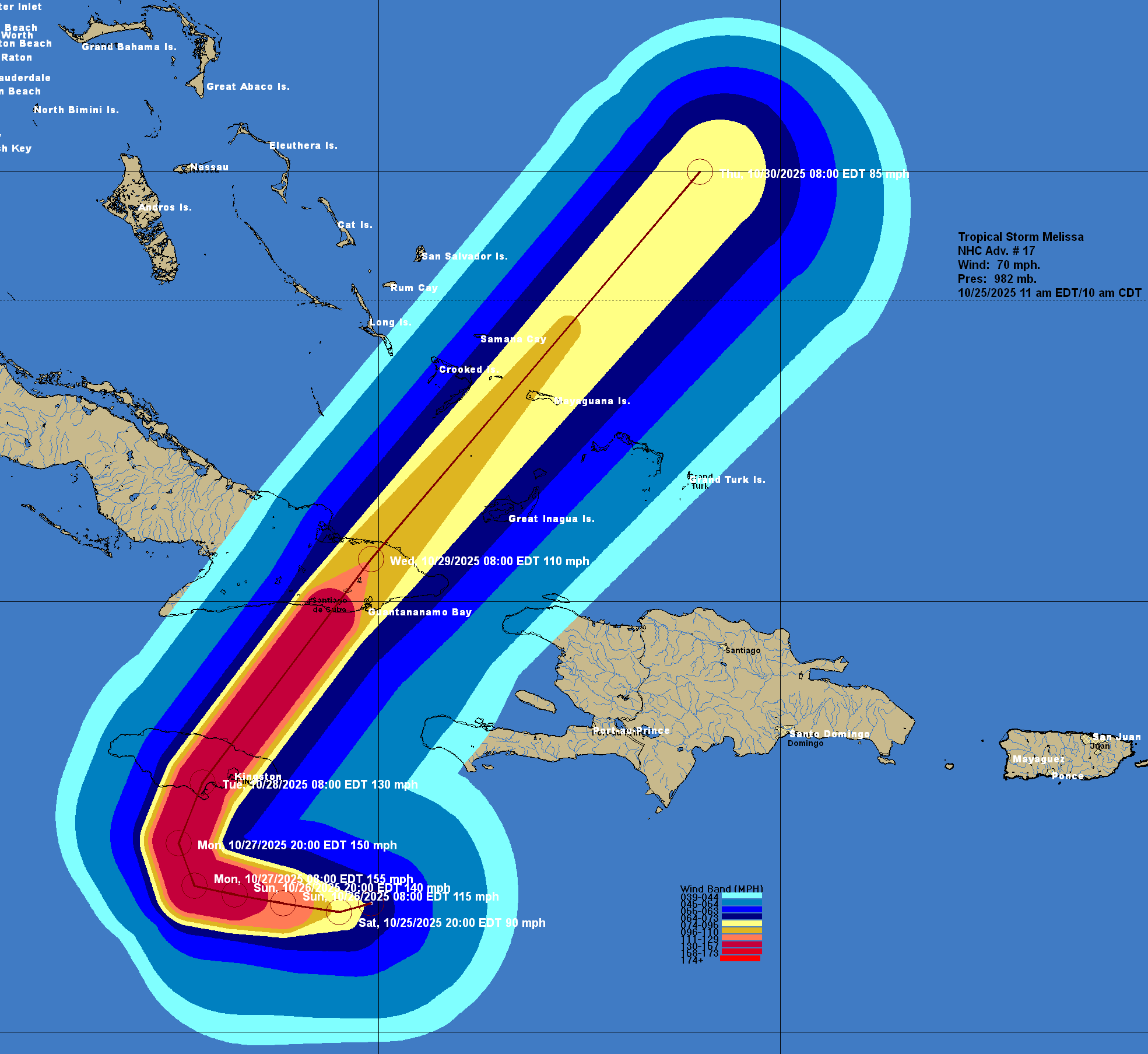
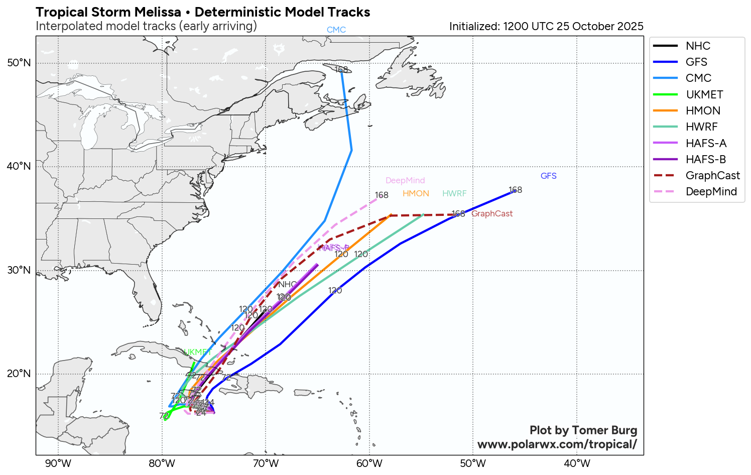
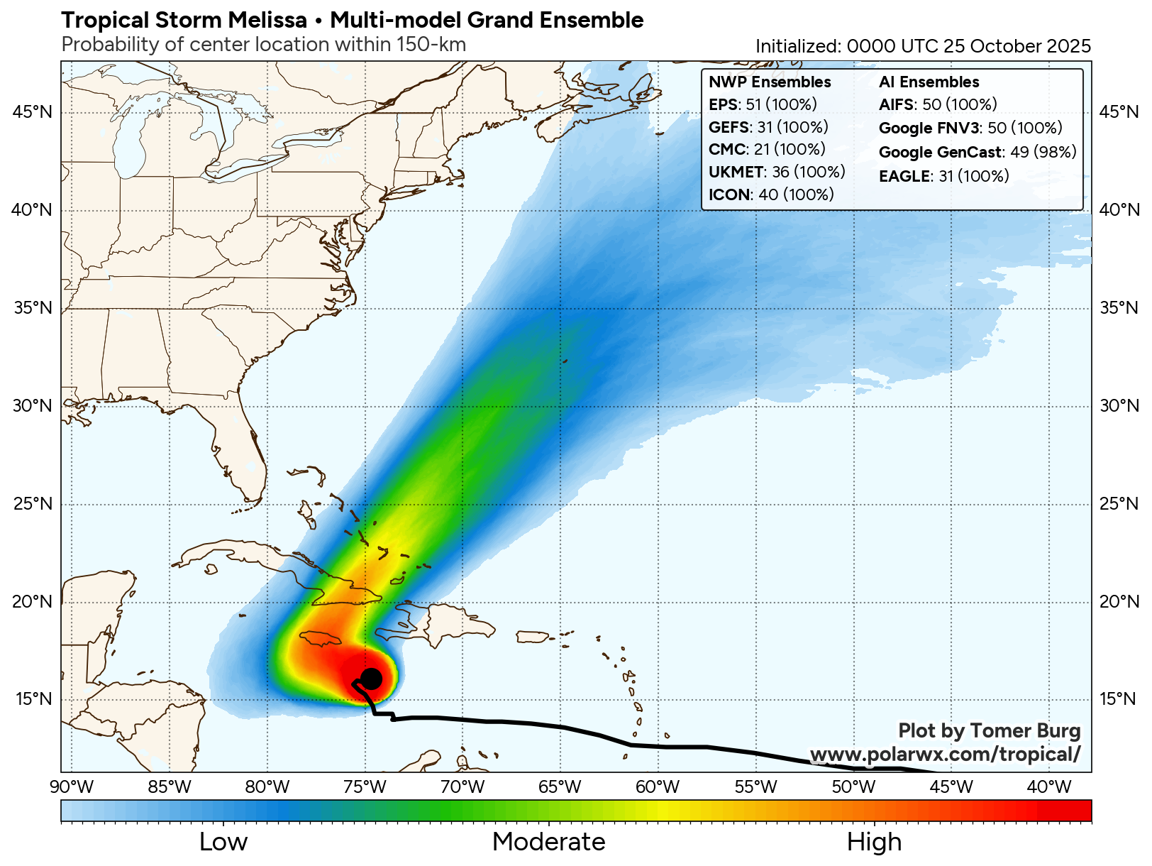
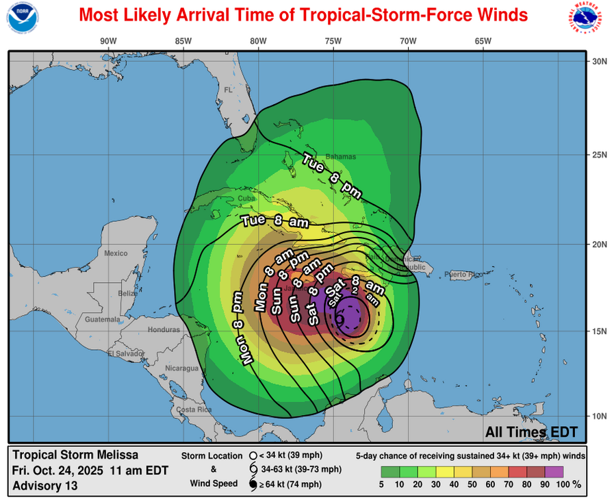
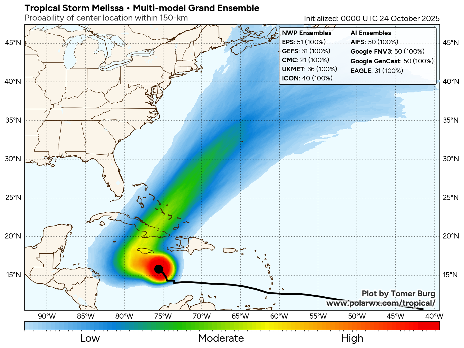
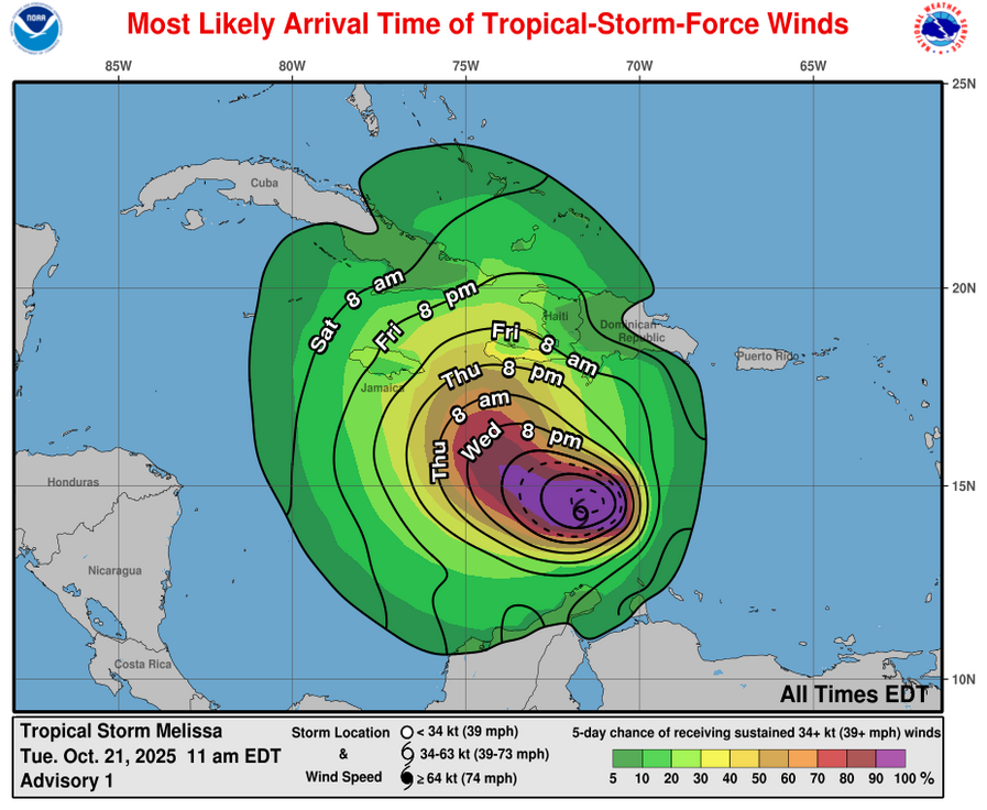
It is now expected that Melissa will cross the southeastern Bahamas later this afternoon and tonight as a Category 2 hurricane. It appears that the core of Melissa will pass over the islands of Crooked Island, Samana Cay, Long Island, Rum Cay and San Salvador Island. Hurricane conditions with wind gusts of over 100 mph, a storm surge of up to 5 to 8 feet and heavy rain can be expected across the southeastern Bahamas this afternoon and tonight. Tropical storm conditions can be expected across the Turks and Caicos throughout the rest of today through tonight.
Beyond this, Melissa will speed up in its forward motion & it appears very likely that the hurricane will pass just west of Bermuda on Thursday night as a borderline Category 1-Category 2 hurricane. I do think that the hurricane will pass close enough to Bermuda to bring hurricane conditions to the island throughout Thursday night & all island interests should be ready for this hurricane.

The next tropical weather discussion will be issued on Thursday.