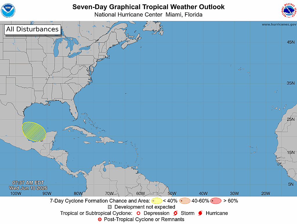
CrownWeather-final logo
CrownWeather-final-logo-mobile
icon burger
  • Pricing
  • Who is Crown Weather
  • CWS Support Services
  • Log In

Crown Weather
Discussions

Welcome To The Official Start Of The 2026 Atlantic Hurricane Season

Monday, June 1, 2026 1:07 pm by Rob Lightbown

Today is the official start of the 2026 Atlantic Hurricane Season & fortunately, there is nothing out there that’s going to immediately develop.

Weather analysis today revealed that there is a low pressure system now located off of the South Carolina coast. The environmental conditions around this low pressure are highly unfavorable for tropical development. It is expected that this low pressure system will head out into the open Atlantic over the next few days.

There is also a frontal boundary that’s now pushing southward through the Mid-Atlantic states right now. It is expected that this frontal boundary will push through the southeastern United States as we get into Tuesday and Wednesday and may then get hung up in the area from the Florida Peninsula to just north of the Bahamas by the second half of this week. Low pressure systems are expected to form and track along this front from the eastern Gulf to the southwestern North Atlantic between Tuesday and Thursday. While tropical or sub-tropical development seems unlikely due to unfavorable environmental conditions, they will be watched, just in case.

Another area that I am going to be watching will be the central and western Gulf later this week where there is the possibility that a piece of energy will lift northward from the Yucatan Peninsula into the central and western Gulf by Wednesday and Thursday. This piece of energy will then head towards coastal parts of Louisiana or the upper Texas coast by about Friday.

It’s possible that this piece of atmospheric energy could lead to the development of a low pressure system, but at this point, I think the chances of anything tropical coming from it are extremely low.

What this piece of atmospheric energy will probably do is bring locally heavy rainfall to parts of the central and western Gulf Coast between Wednesday and Friday.

Looking beyond this week, it’s possible that the environmental conditions may become a little more favorable for tropical development in the Gulf and the southwestern North Atlantic by the middle part of this month. If this occurs, then it could open the door for the possibility of something to watch in terms of tropical development.

Right now, there aren’t any consistent model signals that point towards development around mid-month. That being said, there are some low key signals from the GFS ensemble and the European ensemble model guidance that point towards the Gulf and the southwestern North Atlantic might be a spot to keep an eye on, just in case.

FINALLY – Where today is the official start of the 2026 Atlantic Hurricane Season, I am asking everyone to strongly encourage everyone you know to become a Crown Weather PLUS subscriber. As you know, as a subscriber, it’s well worth the money for what you get. The link to pass along to everyone you know to subscribe is https://crownweather.com/cws-plus/ .

Additionally, I’m also humbly asking you to help us out if you are able to. You all know how rough the last couple of years have been for us & because of this, I’m not going to detail everything again. Any help you can send our way would be appreciated immensely!!!

Here’s How To Help Us Out:

To help us out using your credit card or debit card, please go to the following link –

https://buy.stripe.com/8x2fZiaU4f4UcgO3Uxfw40c.

To help us out using PayPal, please go to the following link –

https://www.paypal.com/paypalme/crownweather .

To help us out using Venmo, please go to the following link –

https://account.venmo.com/u/crownweather (if Venmo asks you to verify payment, the last 4 digits of my phone number is 0009).

Filed Under: CWS Weather Discussions

Sub-Tropical Development Is A Possibility Near The US East Coast Between Tuesday & Thursday

Saturday, May 30, 2026 3:05 pm by Rob Lightbown

You must be logged in to view this content.

Filed Under: CWS Weather Discussions

A Feed Of Tropical Moisture Will Bring Excessive Amounts Of Rain & A Flood Threat To Florida & Parts Of The Southeast US For At Least The Next Week; Additionally, Tropical Mischief Continues To Look Possible From The Eastern Gulf To Near The US East Coast Between This Weekend & Next Week

Wednesday, May 27, 2026 2:16 pm by Rob Lightbown

You must be logged in to view this content.

Filed Under: CWS Weather Discussions

Some Sort Of Tropical Mischief Continues To Look Possible From The Eastern Gulf To Near The US East Coast At The Very End Of This Month Through The First Of June

Monday, May 25, 2026 2:30 pm by Rob Lightbown

You must be logged in to view this content.

Filed Under: CWS Weather Discussions

Tropical Development Is A Possibility Near The US Southeast Coast Around The First Of June

Friday, May 22, 2026 1:39 pm by Rob Lightbown

You must be logged in to view this content.

Filed Under: CWS Weather Discussions

Tropical Mischief Continues To Be A Possibility During The First Couple Of Weeks Of June In The Area From The Northwestern Caribbean Through The Eastern Gulf To Near The Southeast Coast Of The US

Tuesday, May 19, 2026 12:01 pm by Rob Lightbown

You must be logged in to view this content.

Filed Under: CWS Weather Discussions

A Severe Weather & Tornado Outbreak Is Expected Across Central & Eastern Kansas, Southeast Nebraska, Northwest Missouri & Southwest Iowa This Afternoon & This Evening

Monday, May 18, 2026 2:16 pm by Rob Lightbown

Summary: A significant tornado outbreak is looking very likely across central & eastern Kansas, southeastern Nebraska, northwestern Missouri and southwestern Iowa during this afternoon and this evening. Very large to giant hail and multiple strong to violent tornadoes are expected across this entire area.

Details: It’s going to be a dangerous afternoon and evening across a large part of central and eastern Kansas, southeastern Nebraska, northwestern Missouri and southwestern Iowa as an extremely unstable air mass combines with strong amounts of low-level wind shear to produce intense supercells.

These supercell severe thunderstorms will track northeastward across central and eastern Kansas into southeastern Nebraska, northwestern Missouri and southwestern Iowa during this afternoon and this evening. The environment across this entire area will be extremely favorable for strong to violent tornadoes, large to giant hail and damaging winds.

A Potentially Dangerous Situation Tornado Watch is already in effect across northeastern Kansas and southeastern Nebraska & I anticipate to see additional Tornado Watches be issued across eastern and central Kansas, western and northwestern Missouri and southwestern Iowa during this afternoon and this evening.

Finally – I wanted to mention that there is an area of convection that’s present over the southwestern North Atlantic just east of the Bahamas. While this convection looks “impressive” on satellite imagery, there is no chance at all of it developing into a tropical system. The environmental conditions are highly unfavorable for development due to strong amounts of wind shear. I just wanted to mention it, in case you were curious about it.

Filed Under: CWS Weather Discussions

The First Couple Of Weeks Of June May Offer An Opportunity For Possible Tropical Mischief For The Area From The Northwestern Caribbean Through The Eastern Gulf To Near The Southeast Coast Of The US

Friday, May 15, 2026 1:46 pm by Rob Lightbown

You must be logged in to view this content.

Filed Under: CWS Weather Discussions

I’m Watching The First Week Of June For Possible Tropical Mischief For The Area From The Northwestern Caribbean Through The Eastern Gulf To Near The Southeast Coast Of The US

Friday, May 8, 2026 12:25 pm by Rob Lightbown

You must be logged in to view this content.

Filed Under: CWS Weather Discussions

Severe Weather Is Expected This Afternoon & This Evening From East Texas Into The Lower Mississippi Valley & The Tennessee Valley

Wednesday, May 6, 2026 10:16 am by Rob Lightbown

Summary: Severe storms are expected this afternoon and this evening in an area that stretches from east Texas into the lower Mississippi Valley and the Tennessee Valley. One area that I am concerned with is across central Mississippi and central Alabama where supercell severe thunderstorms are possible that could produce tornadoes, large hail and damaging winds.

Details: A cold front currently stretches from near the Texas Hill Country northeastward through the ArkLaTex, northern Mississippi and western Tennessee. A weak area of low pressure is currently located along this front over western Arkansas and western Louisiana.

The air mass to the south of this front is warm and very humid with dew point temperatures in the 70s stretching from south Texas across Louisiana and into western Mississippi and southern Arkansas.

It is expected that the atmosphere will become very unstable by this afternoon across areas that are to the south of the frontal system. In addition, there is expected to be strong amounts of low-level wind shear in place, which will lead to an environment that’s favorable for supercells, especially across northeastern Louisiana, central Mississippi and central Alabama.

It appears that severe storms will form in an area from northern Louisiana into central Mississippi by early this afternoon. Other thunderstorm development looks possible during early this afternoon from northern Alabama through northern Mississippi.

These storms are expected to evolve into supercells capable of producing tornadoes by late this afternoon and continue through this evening in the area from central Mississippi through central Alabama. In addition, the environmental conditions look favorable for the production of strong tornadoes across central Mississippi and central Alabama during late this afternoon and this evening.

Eventually, these storms will evolve into clusters of severe storms capable of producing mainly damaging winds across southern Alabama and central and southern Georgia during the overnight hours of tonight.

Finally, as that frontal boundary sinks southward tonight, it is expected to produce additional severe storms during the overnight hours of tonight across parts of southeast Texas, central Louisiana and southern Mississippi. I do think that a majority of these storms should stay north of I-10. Also, these storms may have the capability to produce tornadoes, damaging winds and large hail.


Filed Under: CWS Weather Discussions

  • « Previous Page
  • 1
  • 2
  • 3
  • 4
  • …
  • 20
  • Next Page »

© 2026. Website Developed by AnoLogix. Privacy | Legal | Terms of Use