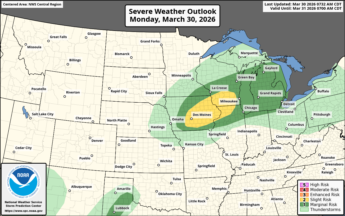
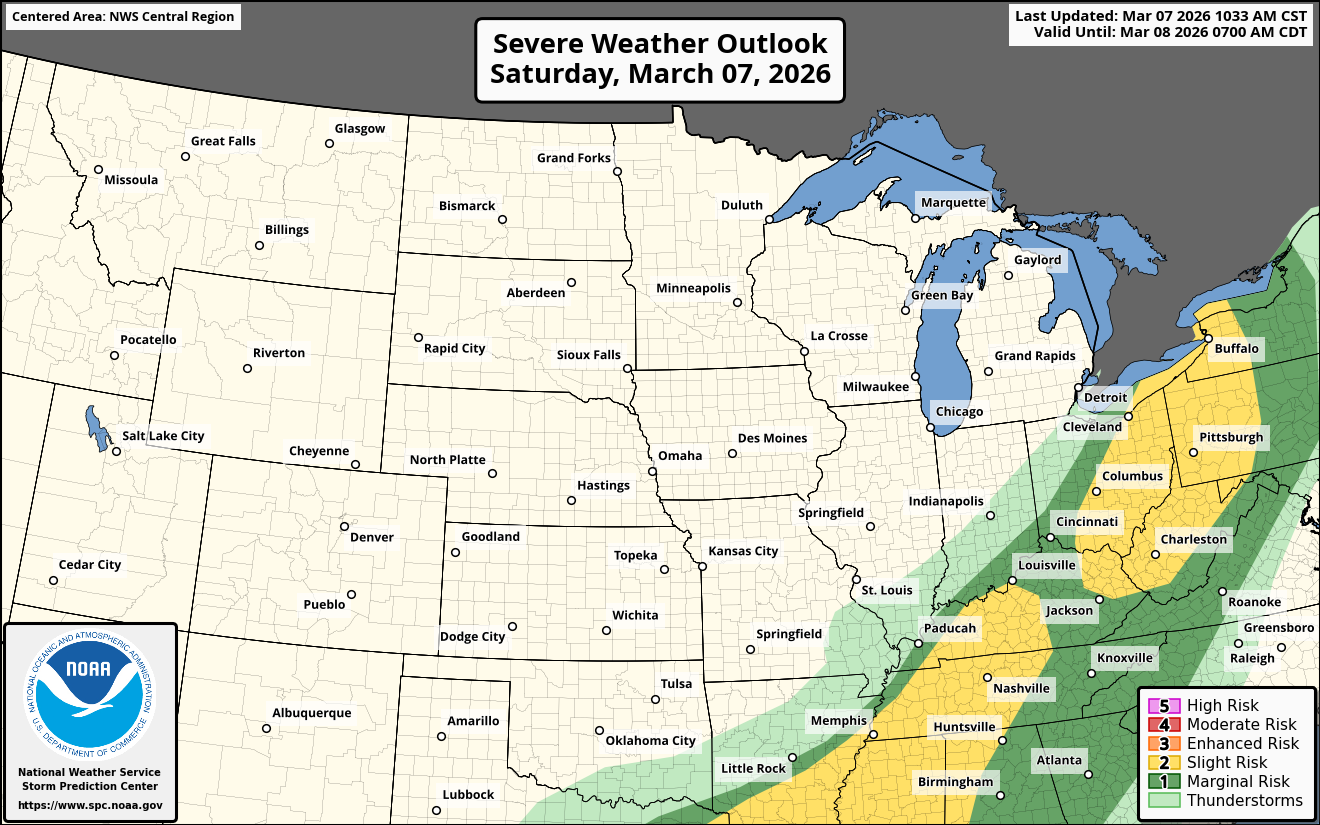
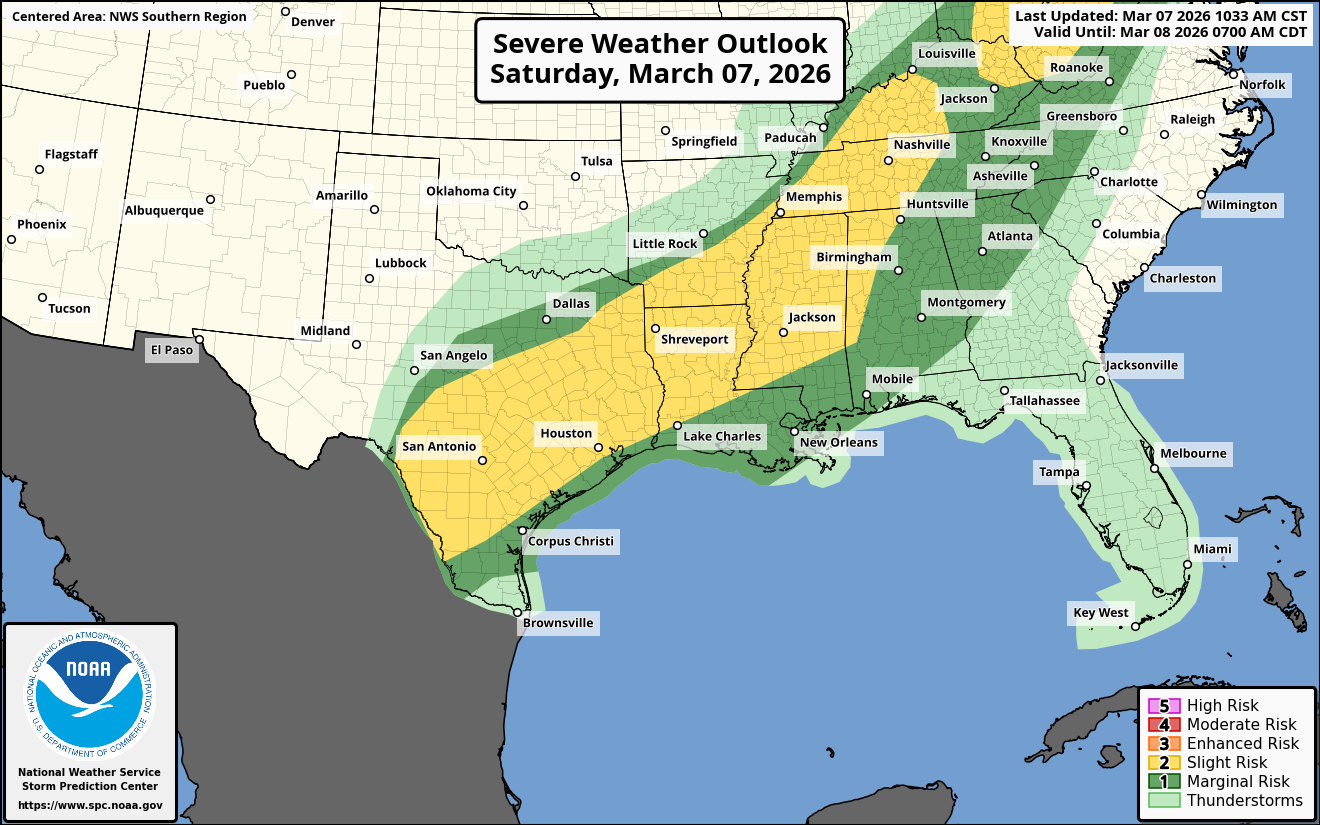
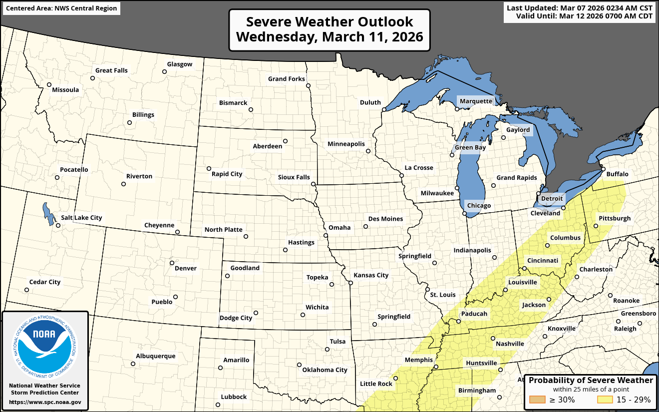
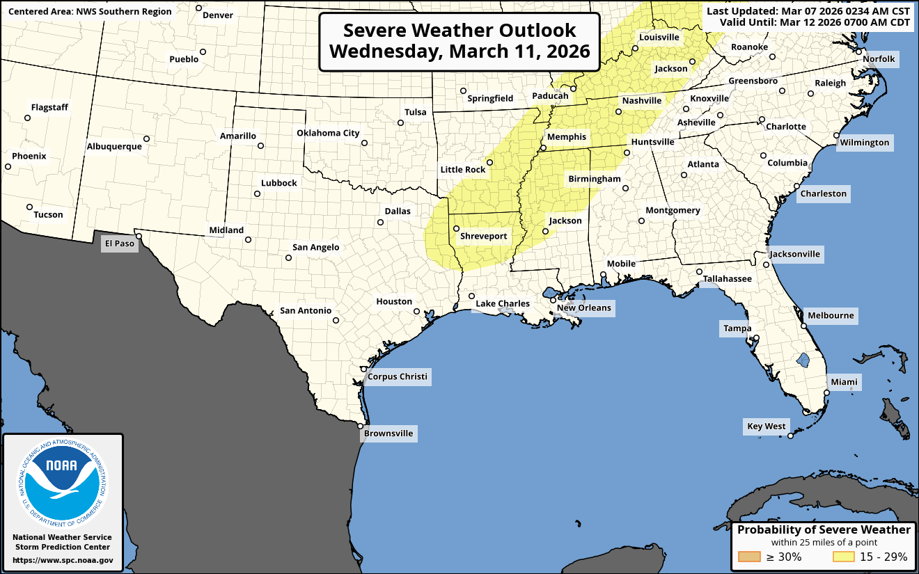
A cold front is expected to push southward across the southeastern United States during this weekend & then push southward across the Florida Peninsula by the very early part of next week.
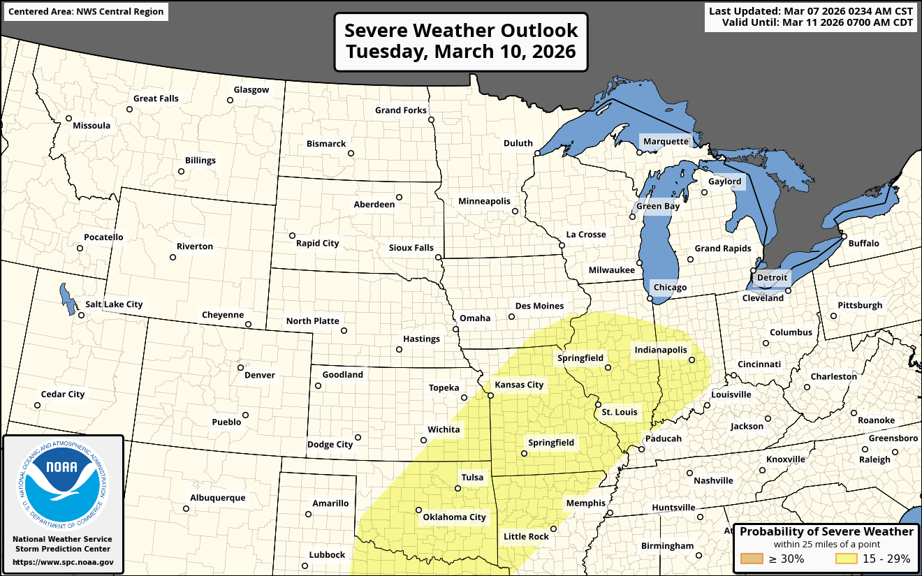
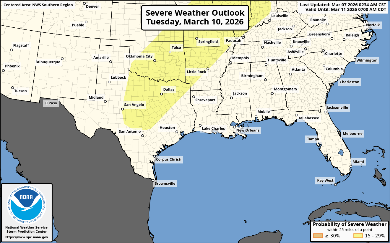
At the same time this is occurring, it is possible that a wave of low pressure may form over the eastern Gulf during Monday and Tuesday. This non-tropical low pressure system is then expected to push east-northeastward into the northern Bahamas during the middle part of next week before heading out into the open Atlantic later next week.
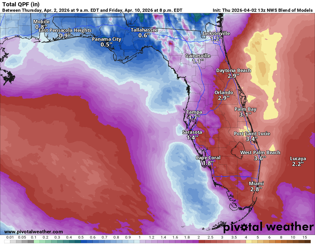
The combination of the wave of low pressure and an east-northeasterly wind flow will lead to several days of rain across much of the Florida Peninsula.
Rain looks to begin to affect much of the Florida Peninsula on Monday and Tuesday & then continue through Wednesday before it ends on Thursday.
Rainfall totals during next week looks to average between 1 and 3 inches across much of the Florida Peninsula & especially along Florida’s East Coast. This rainfall will definitely help the drought conditions that are occurring across Florida.
In addition to the rain, there will be some gusty east-northeasterly winds across much of the Florida Peninsula next week from Tuesday until Thursday. Wind gusts of up to 35 mph can be expected, especially along Florida’s East Coast.
Bottom line is that we could see the first large scale area wide rainfall across the Florida Peninsula in quite some time during next week.