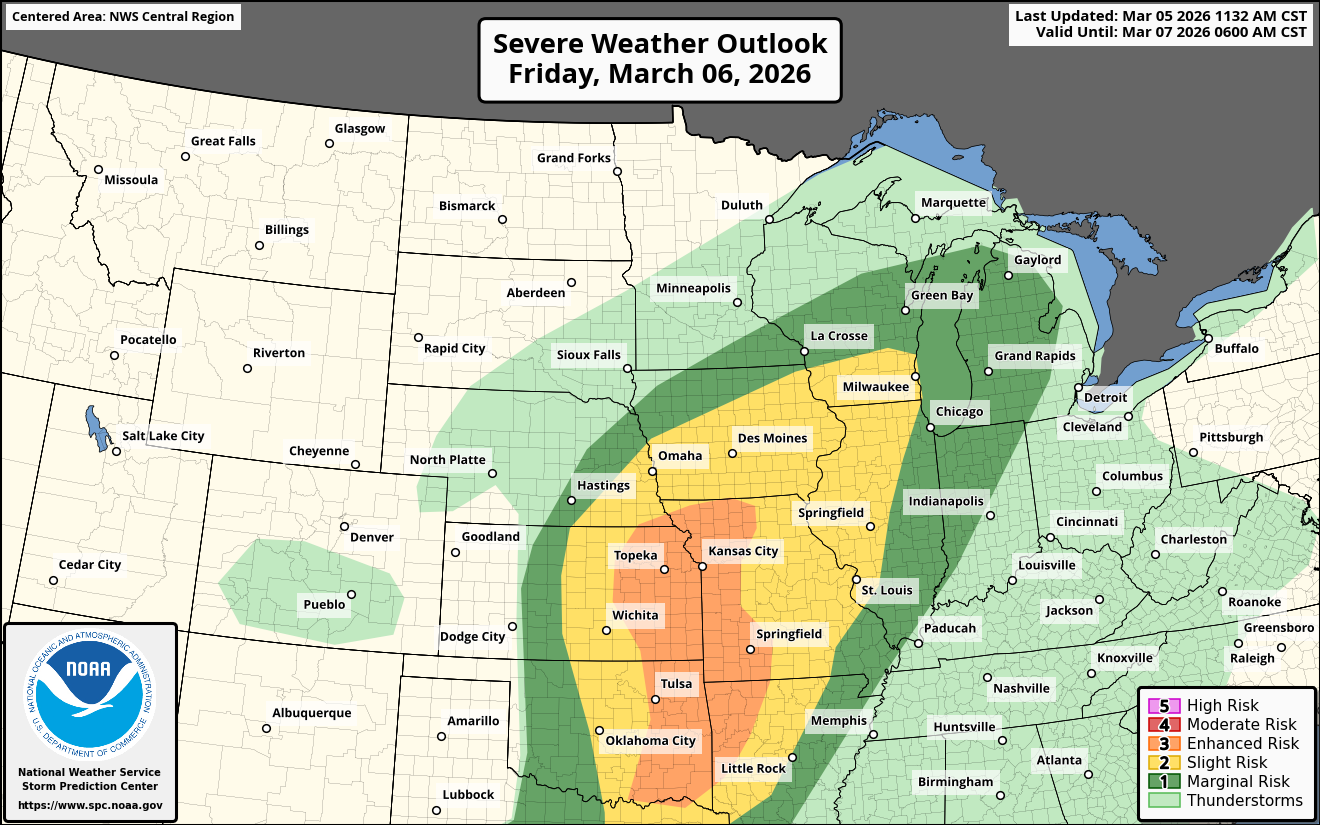
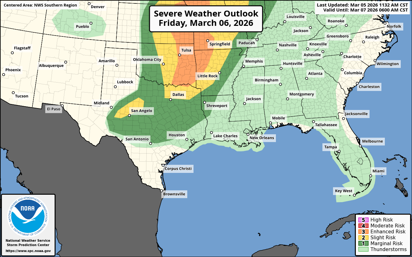
I just wanted to update you regarding Friday afternoon and Friday evening’s potential significant severe weather across eastern Oklahoma, eastern Kansas and western Missouri.
An area of low pressure is expected to track from western Kansas to the upper Great Lakes during Friday and Friday night. A dryline will extend southward from this low pressure system into the central and southern Plains states.
The area of most concern right now is across eastern Oklahoma, eastern Kansas and western Missouri where supercell severe thunderstorms may develop by late Friday afternoon and Friday evening. Tornadoes and large hail look to be the main threat.
It’s something to certainly keep an eye on if you are located anywhere across these areas.