

Welcome to
Crown Weather Plus
Click For Information On: HURRICANE ISAIAS.
Favorites
- No Favorites
Current Discussions
You must be logged in to view this content.
You must be logged in to view this content.
Tropical Storm Isaias: We have Tropical Storm Isaias that’s located in the southwestern Gulf today. Despite looking quite strong on satellite imagery with consistent deep convection occurring, reconnaissance aircraft have found a system that’s barely a tropical storm. Reports from reconnaissance aircraft indicate that Isaias has a broad circulation & it appears that it’s being […]
Invest 92-L has organized enough this afternoon to be classified as a tropical depression & thus we now have Tropical Depression #9 over the southwestern Gulf. TD 9 is very likely to strengthen quite a bit in the coming days and because of this, it will likely become a tropical storm (name will be Isaias) […]
Invest 92-L Located Over The Southwestern Gulf: Invest 92-L, which is located in the southwestern Gulf, is very clearly organizing today. Satellite imagery indicates that there is robust convection occurring with this system & it appears that the convection is organizing. Today and tomorrow is going to be important in terms of how much Invest […]

2 Day Tropical Weather Outlook

7 Day Tropical Weather Outlook

Current Advisories/Warnings

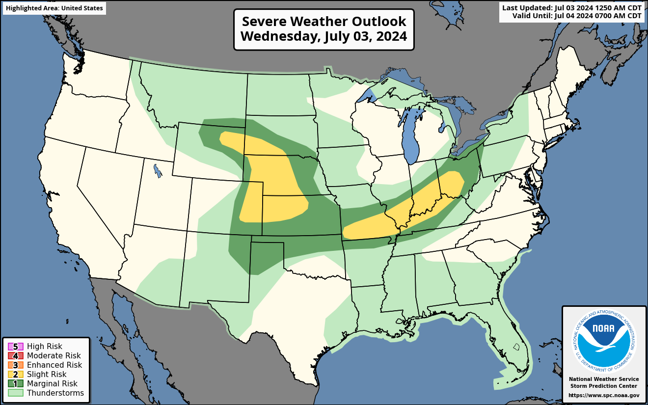
Severe Weather Outlook
Atlantic Wide Basin Satellite Map

US Satellite Map

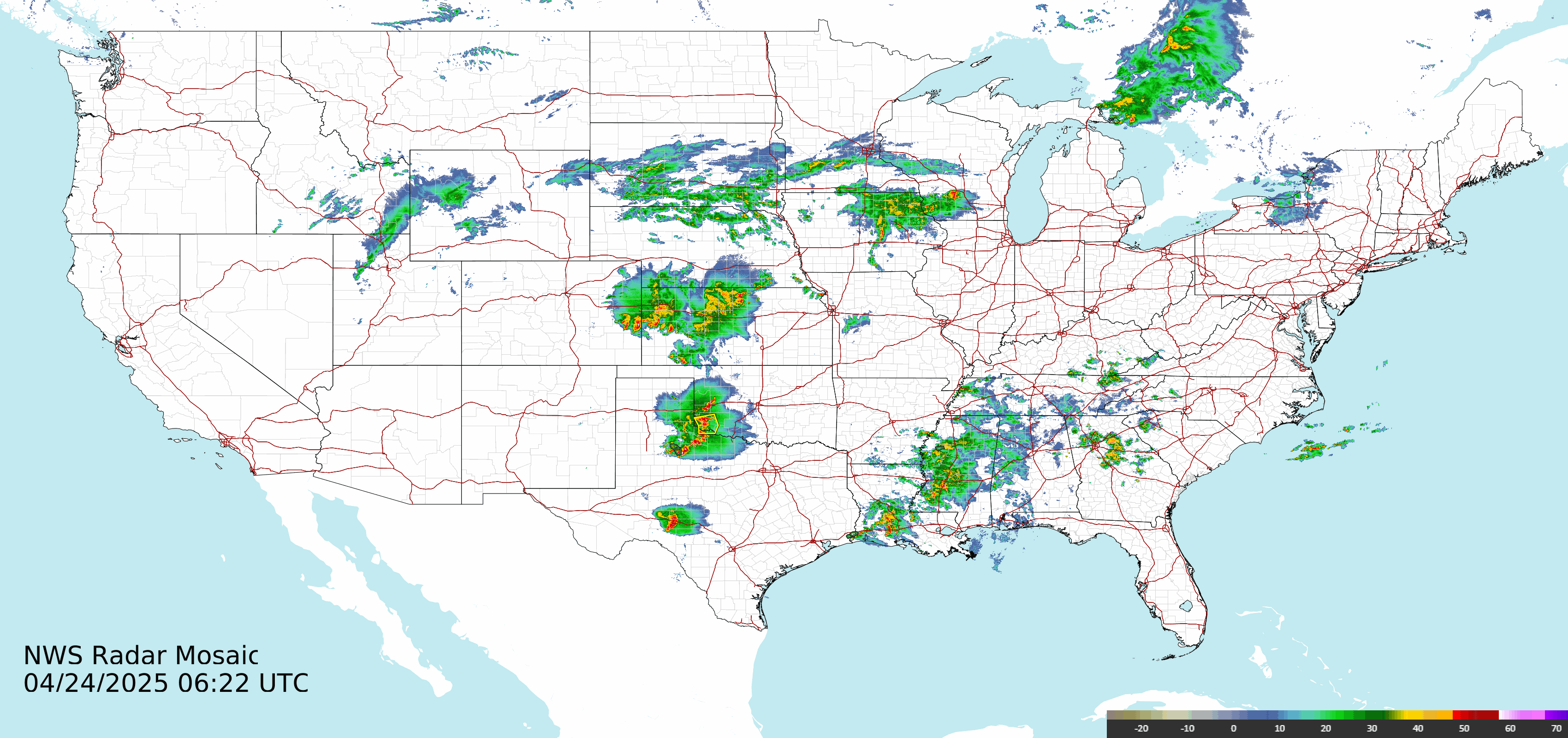
US Radar Image