CrownWeather-final logo
CrownWeather-final-logo-mobile
icon burger
  • CWS Plus
  • Who is Crown Weather
  • CWS Support Services
  • Discussions
    • Discussions
    • 2025 Hurricane Season Forecast
  • Log In

Northern Maine
Weather

Check below for everything about the weather for Northern Maine, including surface weather maps, satellite images, radar images, forecasts, predictions, and more! All images, forecasts, and documents are courtesy of their respective publishers.

Current Weather Conditions

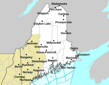
Northern Maine Weather Advisories

Click on a point below for additional forecast information.

car.png

Read watches, warnings & advisories.

Area Forecast Discussion

Point Forecast Matrices

Weather Forecast

Hourly Weather Roundup

48-Hour Northern Maine Weather Forecast Graphs:

Estcourt Station:

Plotter.php?lat=47.40100&lon=-69.1714&wfo=CAR&zcode=MEZ001&gset=20&gdiff=10&unit=0&tinfo=EY5&ahour=0&pcmd=110111111111100000000000000000&lg=en

Fort Kent:

Plotter.php?lat=47.2632&lon=-68.5774&wfo=CAR&zcode=MEZ001&gset=20&gdiff=10&unit=0&tinfo=EY5&ahour=0&pcmd=110111111111100000000000000000&lg=en

Van Buren:

Plotter.php?lat=47.1682&lon=-67.9511&wfo=CAR&zcode=MEZ001&gset=20&gdiff=10&unit=0&tinfo=EY5&ahour=0&pcmd=110111111111100000000000000000&lg=en

Loring:

Plotter.php?lat=46.9404&lon=-67.8948&wfo=CAR&zcode=MEZ001&gset=20&gdiff=10&unit=0&tinfo=EY5&ahour=0&pcmd=110111111111100000000000000000&lg=en

Fort Fairfield:

Plotter.php?lat=46.768&lon=-67.8365&wfo=CAR&zcode=MEZ002&gset=20&gdiff=10&unit=0&tinfo=EY5&ahour=0&pcmd=110111111111100000000000000000&lg=en

Mapleton:

Plotter.php?lat=46.6819&lon=-68.1633&wfo=CAR&zcode=MEZ002&gset=20&gdiff=10&unit=0&tinfo=EY5&ahour=0&pcmd=110111111111100000000000000000&lg=en

Portage:

Plotter.php?lat=46.7631&lon=-68.4764&wfo=CAR&zcode=MEZ002&gset=20&gdiff=10&unit=0&tinfo=EY5&ahour=0&pcmd=110111111111100000000000000000&lg=en

Mars Hill:

Plotter.php?lat=46.51580&lon=-67.8669&wfo=CAR&zcode=MEZ002&gset=20&gdiff=10&unit=0&tinfo=EY5&ahour=0&pcmd=110111111111100000000000000000&lg=en

Houlton:

Plotter.php?lat=46.1173&lon=-67.8342&wfo=CAR&zcode=MEZ006&gset=20&gdiff=10&unit=0&tinfo=EY5&ahour=0&pcmd=110111111111100000000000000000&lg=en

Danforth:

Plotter.php?lat=45.6603&lon=-67.8689&wfo=CAR&zcode=MEZ005&gset=20&gdiff=10&unit=0&tinfo=EY5&ahour=0&pcmd=110111111111100000000000000000&lg=en

Greenville:

Plotter.php?lat=45.4667&lon=-69.5928&wfo=CAR&zcode=MEZ005&gset=20&gdiff=10&unit=0&tinfo=EY5&ahour=0&pcmd=110111111111100000000000000000&lg=en

Allagash:

Plotter.php?lat=47.08333&lon=-69.04289245605469&wfo=CAR&zcode=MEZ001&gset=20&gdiff=10&unit=0&tinfo=EY5&ahour=0&pcmd=110111111111100000000000000000&lg=en

Madawaska:

Plotter.php?lat=47.34300&lon=-68.3339&wfo=CAR&zcode=MEZ001&gset=20&gdiff=10&unit=0&tinfo=EY5&ahour=0&pcmd=110111111111100000000000000000&lg=en

Limestone:

Plotter.php?lat=46.9118&lon=-67.8309&wfo=CAR&zcode=MEZ001&gset=20&gdiff=10&unit=0&tinfo=EY5&ahour=0&pcmd=110111111111100000000000000000&lg=en

Caribou:

Plotter.php?lat=46.87026&lon=-68.01106&wfo=CAR&zcode=MEZ002&gset=20&gdiff=10&unit=0&tinfo=EY5&ahour=0&pcmd=110111111111100000000000000000&lg=en

Presque Isle:

Plotter.php?lat=46.68600&lon=-67.9873&wfo=CAR&zcode=MEZ002&gset=20&gdiff=10&unit=0&tinfo=EY5&ahour=0&pcmd=110111111111100000000000000000&lg=en

Ashland:

Plotter.php?lat=46.6311&lon=-68.4067&wfo=CAR&zcode=MEZ002&gset=20&gdiff=10&unit=0&tinfo=EY5&ahour=0&pcmd=110111111111100000000000000000&lg=en

Easton:

Plotter.php?lat=46.6411&lon=-67.91&wfo=CAR&zcode=MEZ002&gset=20&gdiff=10&unit=0&tinfo=EY5&ahour=0&pcmd=110111111111100000000000000000&lg=en

Monticello:

Plotter.php?lat=46.30830&lon=-67.8431&wfo=CAR&zcode=MEZ006&gset=20&gdiff=10&unit=0&tinfo=EY5&ahour=0&pcmd=110111111111100000000000000000&lg=en

Millinocket:

Plotter.php?lat=45.6591&lon=-68.6989&wfo=CAR&zcode=MEZ005&gset=20&gdiff=10&unit=0&tinfo=EY5&ahour=0&pcmd=110111111111100000000000000000&lg=en

Vanceboro:

Plotter.php?lat=45.5633&lon=-67.4303&wfo=CAR&zcode=MEZ005&gset=20&gdiff=10&unit=0&tinfo=EY5&ahour=0&pcmd=110111111111100000000000000000&lg=en

Jackman:

Plotter.php?lat=45.63&lon=-70.28&wfo=GYX&zcode=MEZ005&gset=20&gdiff=10&unit=0&tinfo=EY5&ahour=0&pcmd=110111111111100000000000000000&lg=en

Current Weather Maps

Current Northeast US Surface Weather Map
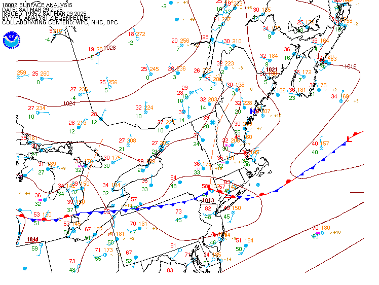
namnesfcwbg.gif

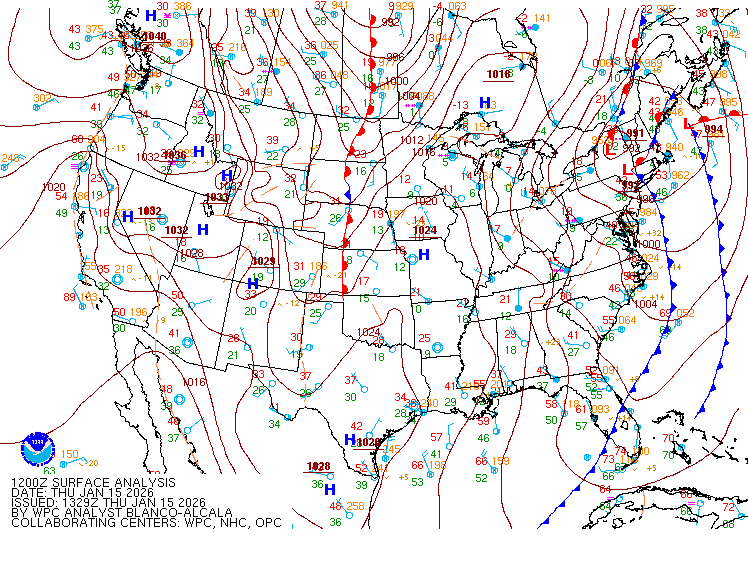
Current US Surface Weather Map

namussfcwbg.gif

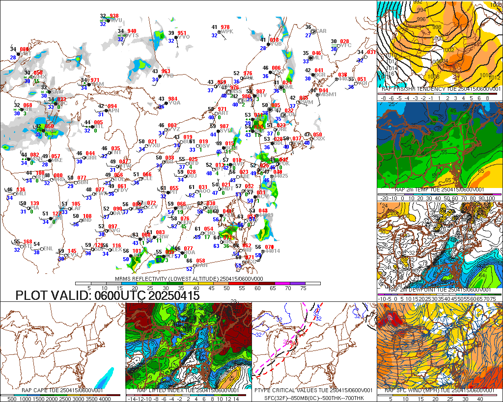
Current Northeast US Surface Weather Analysis
t0.gif

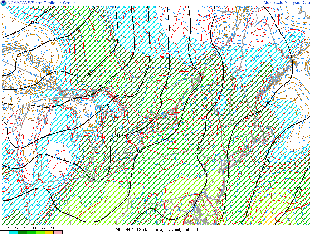
Current Northeast US Mesoscale Analysis
ttd.gif

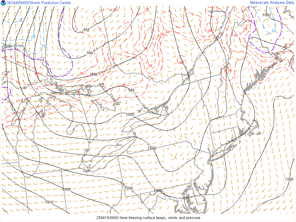
Northeast US Near Freezing Surface Temperatures
fztp.gif

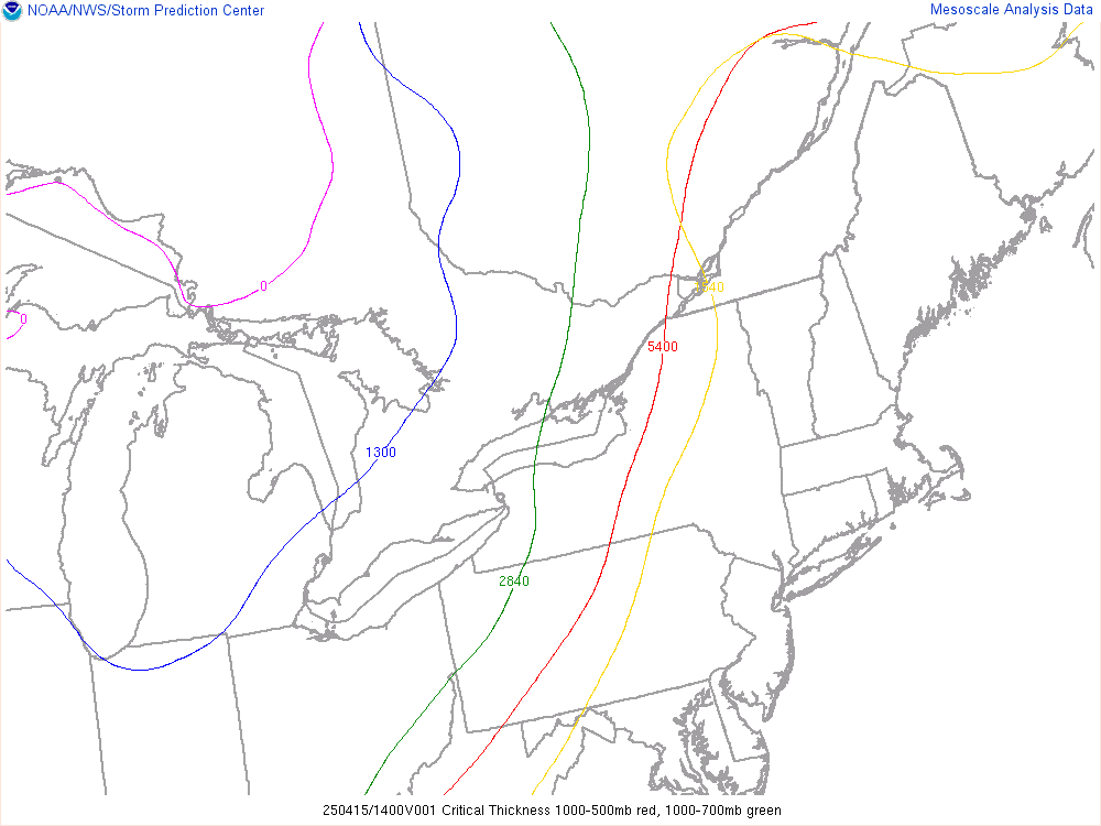
Northeast US Critical Thickness Analysis
thck.gif

2 Hour Sea Level Pressure Change Chart:
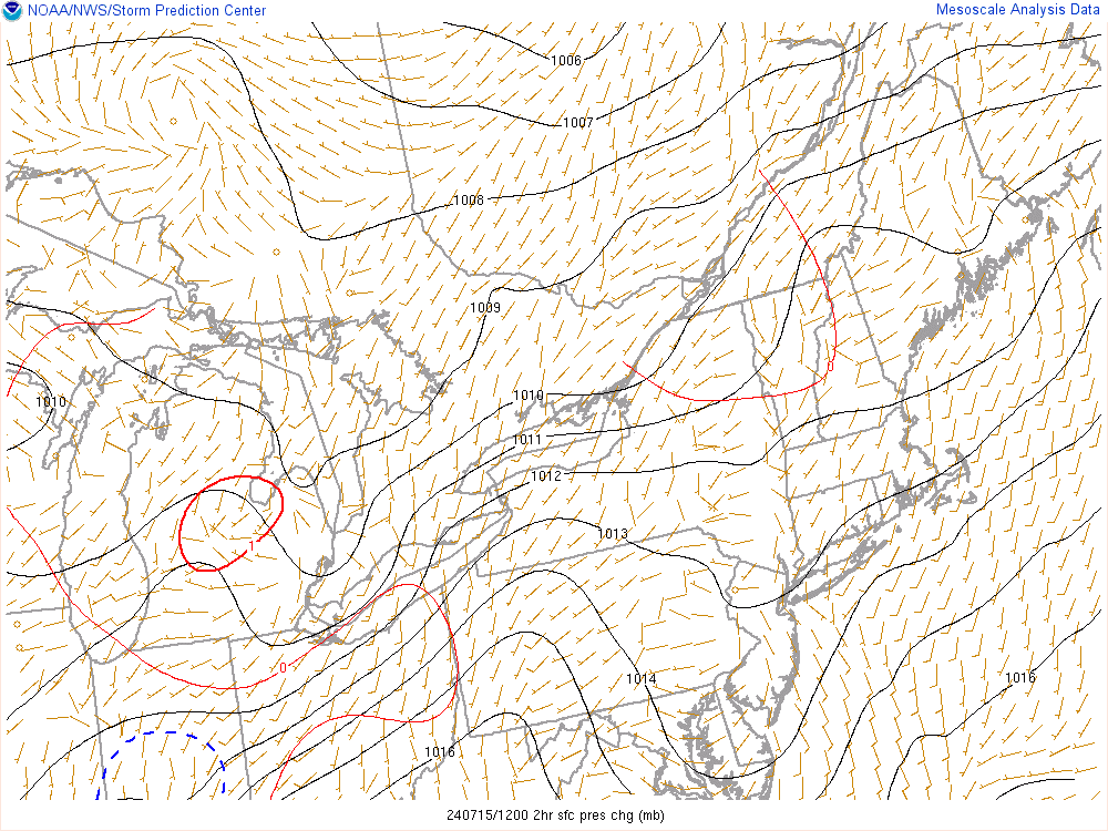
pchg.gif

Current 925 Millibar Upper Air Chart:
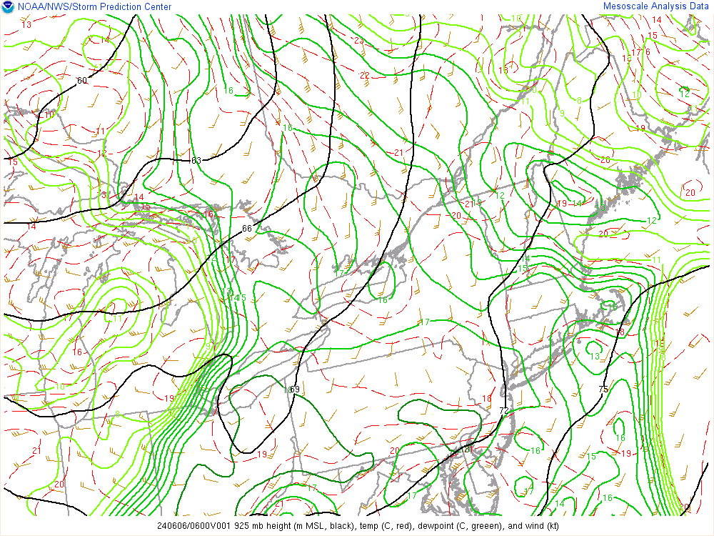
925mb.gif

Current 850 Millibar Upper Air Chart:
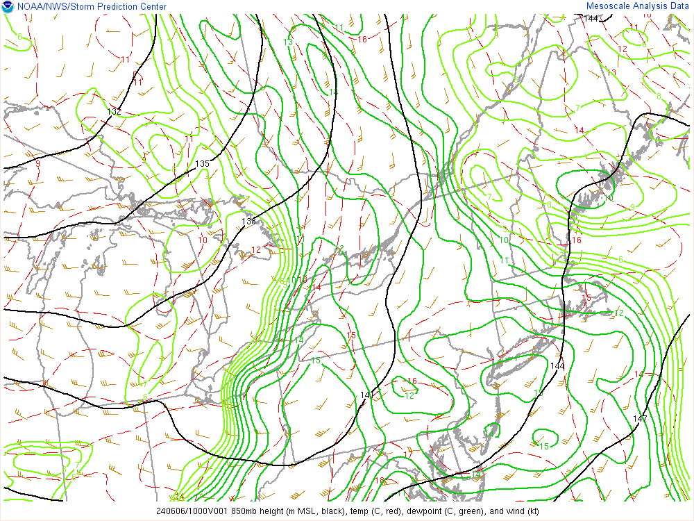
850mb.gif

Current 700 Millibar Upper Air Chart:
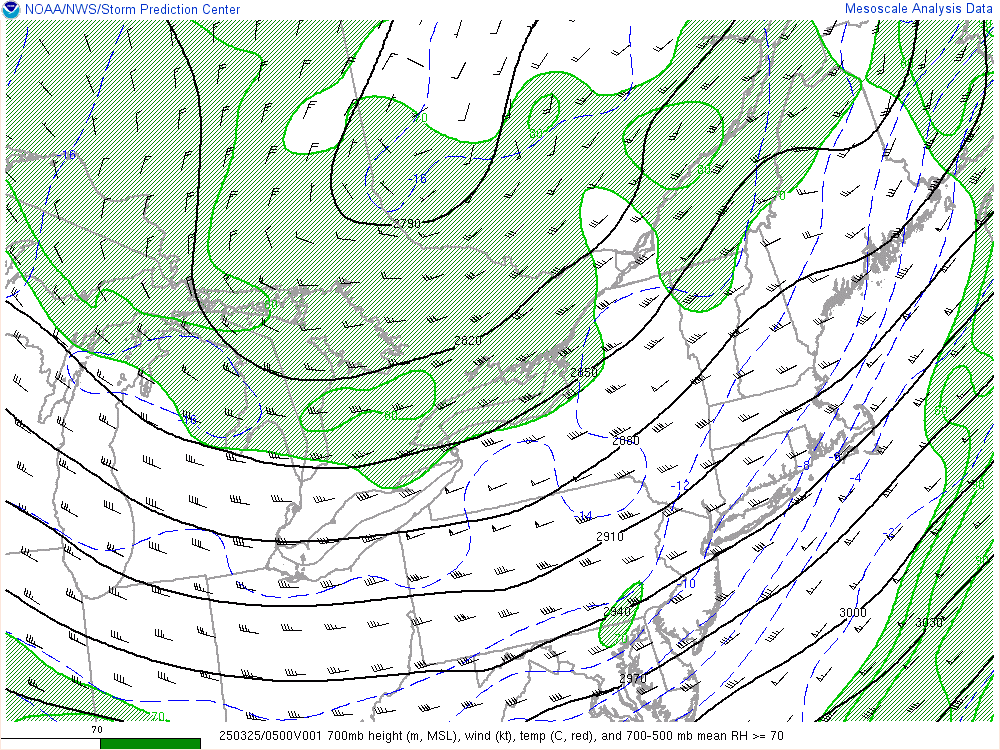
700mb.gif

Current 500 Millibar Upper Air Chart:
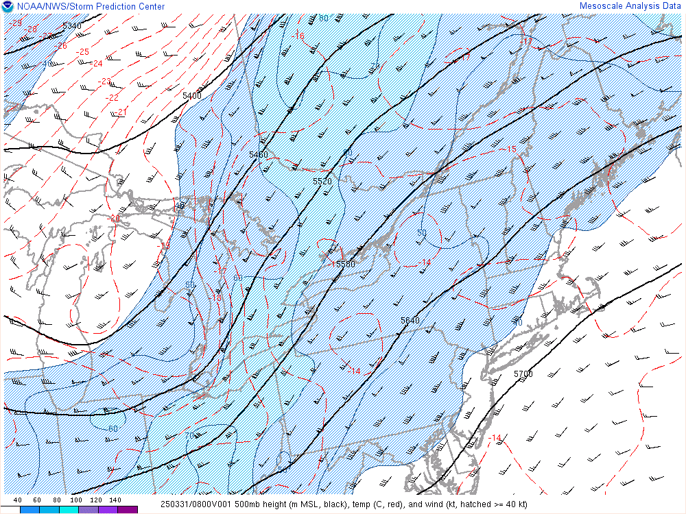
500mb.gif

Current 300 Millibar Upper Air Chart:
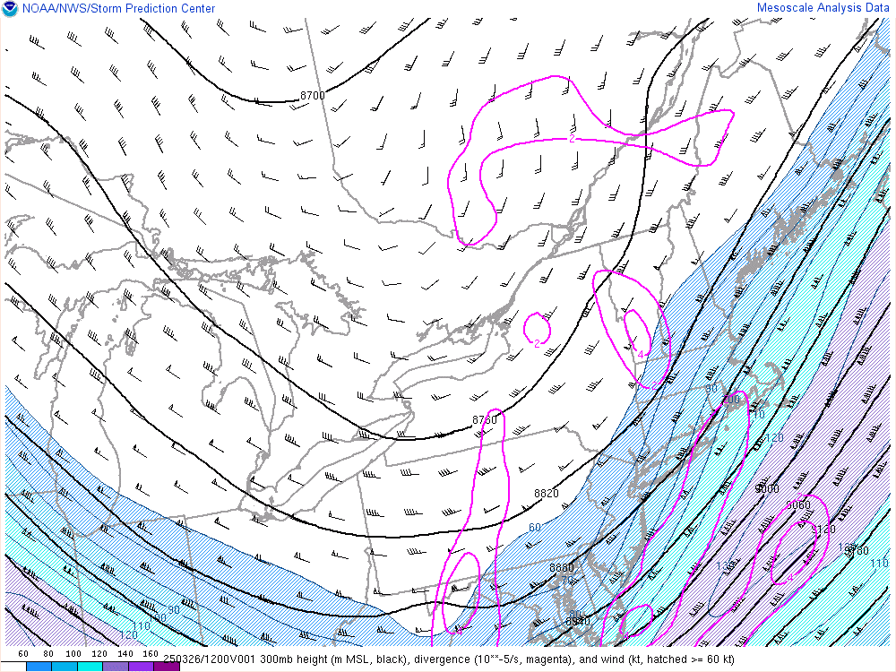
300mb.gif

500 mb Upper Air Chart Overlayed On Water Vapor Satellite

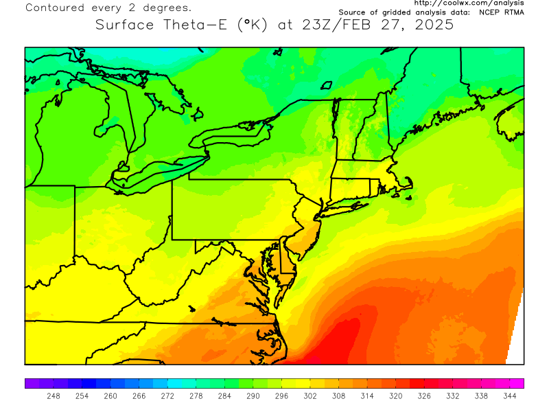
Current Surface Theta-E Chart:
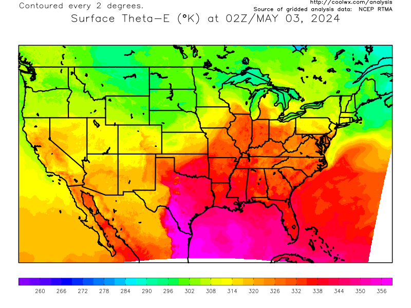
thee.us.png
thee.ne.png

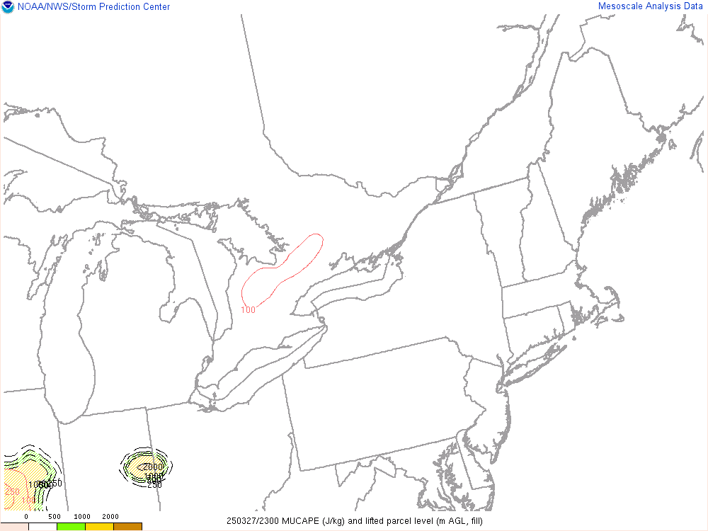
Current CAPE Analysis:

mucp.gif

Current Storm Relative Helicity/Storm Motion Analysis:
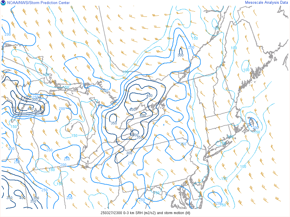
srh3.gif

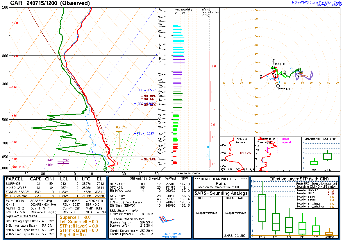
Current Upper Air Sounding:

ALB.gif

Current Northeast US Supercell Composite Analysis
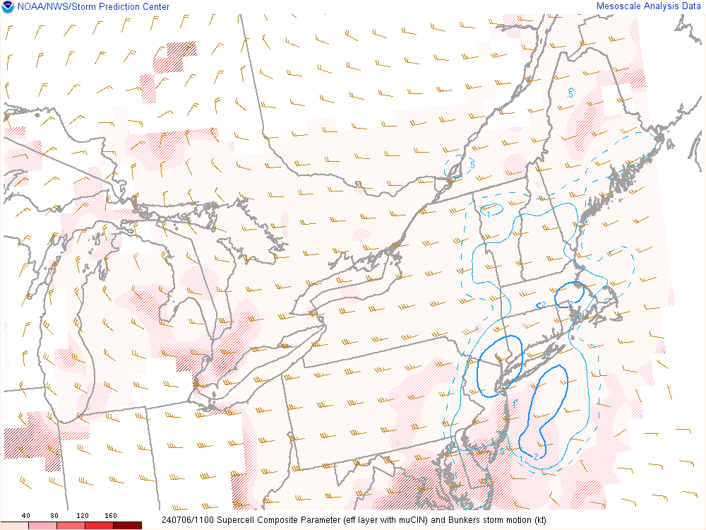
scp.gif

Current Northeast US Significant Tornado Parameter Analysis:
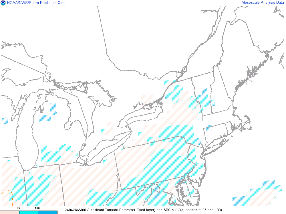
stor.gif

Satellite Images

Current Water Vapor Satellite Image:

1200x1200.jpg

Current Northeast US Infrared Satellite Image:

1200x1200.jpg

Current US Water Vapor Satellite Image:

1250x750.jpg

Closeup Visible Satellite Image:

Rhode_Island.02.jpg

Current Northeast US Visible Satellite Image:

1200x1200.jpg

Nighttime Fog & Low Cloud Imagery

1200x1200.jpg

Current US Infrared Satellite Image:

1250x750.jpg

Current US Visible Satellite Image:

1250x750.jpg

Current Individual Radar Sites

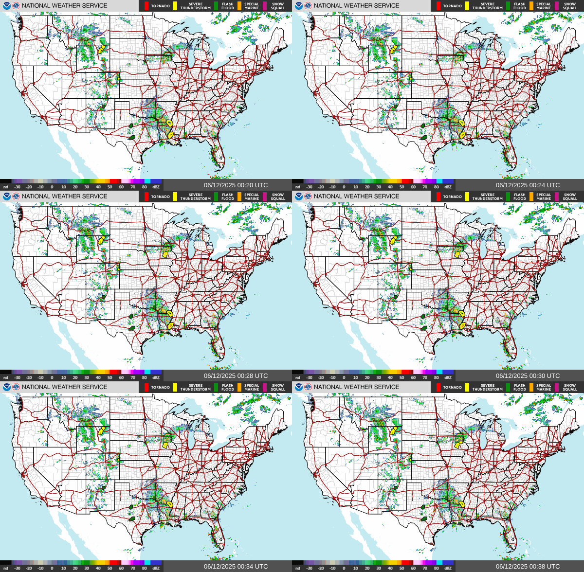
Current Regional Radar Composite:

KBOX_loop.gif
NORTHEAST_loop.gif

blank

KENX_loop.gif
CONUS_loop.gif

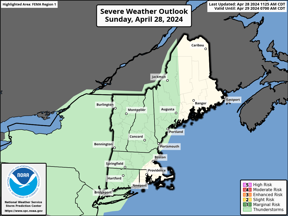
Today's Severe Weather Outlook:

fema01_swody1.png

Categorical:

day1otlk.gif

Tornado Probability:

day1probotlk_torn.gif

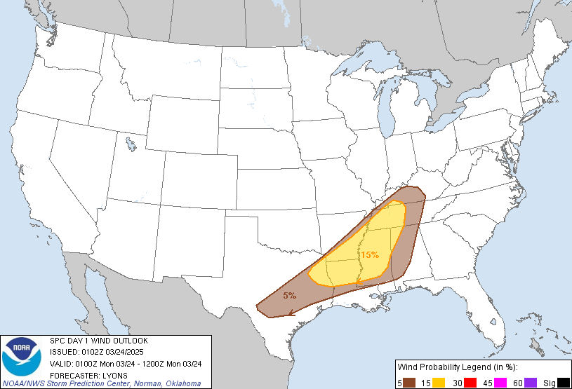
Severe Wind Probability:

day1probotlk_wind.gif

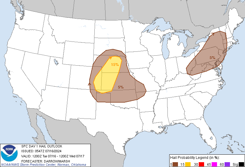
Large Hail Probability:

day1probotlk_hail.gif

Tomorrow's Severe Weather Outlook:

Categorical:

day2otlk.gif

Probabilistic Outlook:

day2probotlk_any.gif

Severe Wind Probability:

day2probotlk_wind.gif

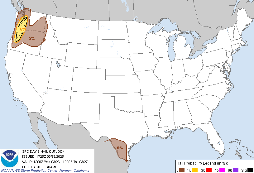
Large Hail Probability:

day2probotlk_hail.gif

Day Three's Severe Weather Outlook:

Categorical:

day3otlk.gif

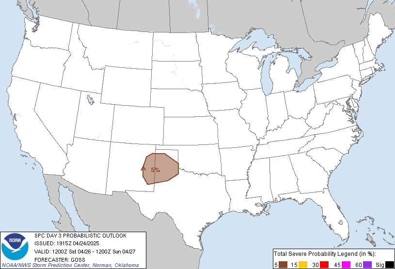
Probabilistic Outlook:

day3prob.gif

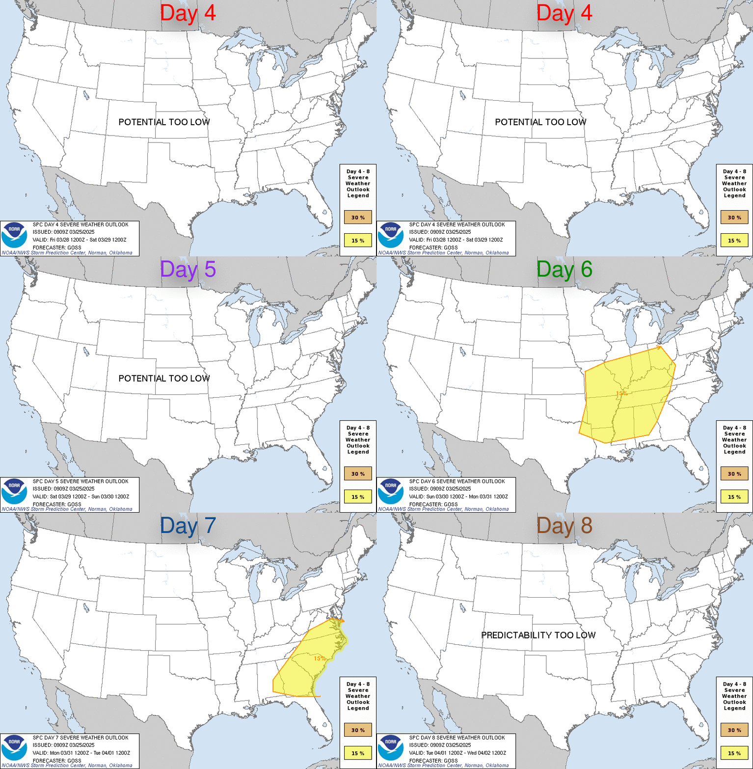
Day Four to Eight Severe Weather Outlook:

day48prob.gif

Quantitative Precipitation Forecast

Day 1 Precipitation Forecast

fill_94qwbg.gif

Day 2 Precipitation Forecast

fill_98qwbg.gif

Day 3 Precipitation Forecast

fill_99qwbg.gif

3 Day Precipitation Totals

d13_fill.gif

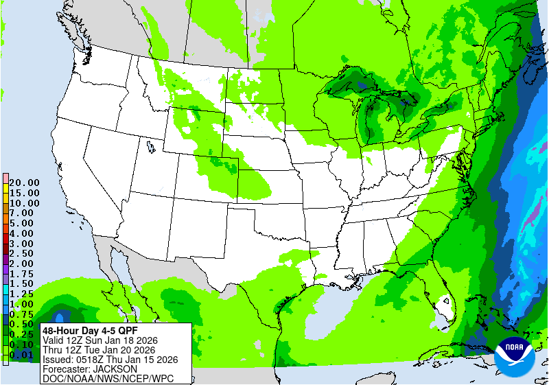
Days 4 and 5 Precipitation Forecast

95ep48iwbg_fill.gif

5 Day Precipitation Totals

p120i.gif

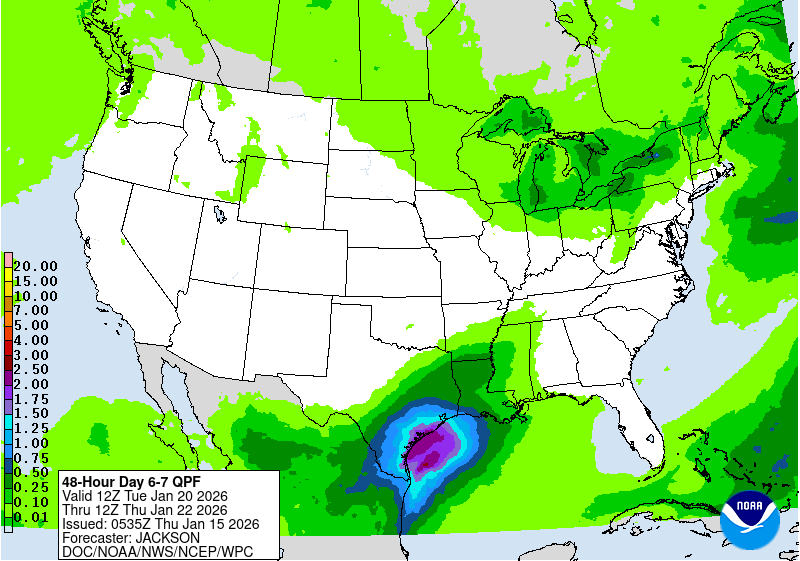
Days 6 and 7 Precipitation Forecast

97ep48iwbg_fill.gif

7 Day Precipitation Totals

p168i.gif

Other Severe Weather Products

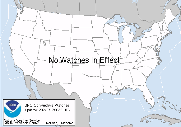
Current Severe Thunderstorm/Tornado Watches:

validww.gif

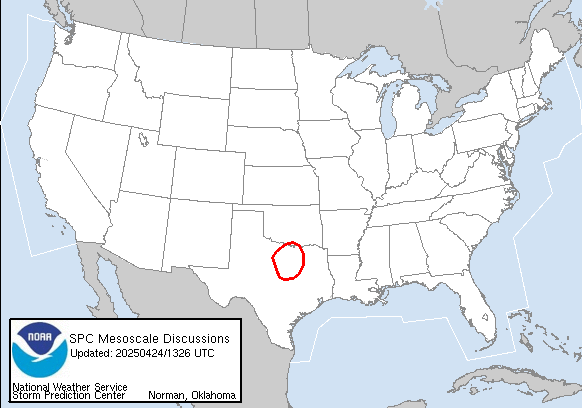
Current Mesoscale Discussions:

validmd.gif

Storm Reports

Today's Storm Reports:

today.gif

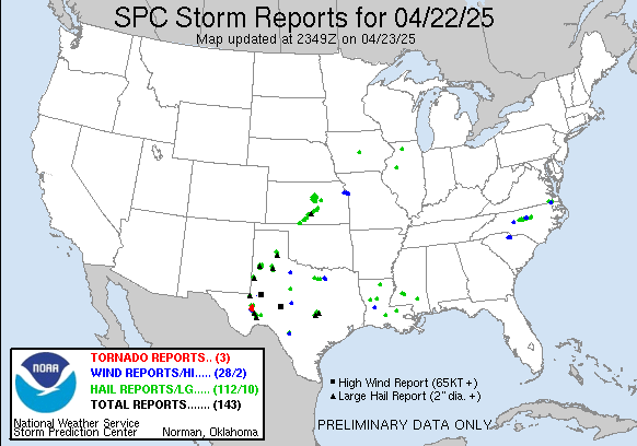
Yesterday's Storm Reports:

yesterday.gif

Short Range Forecast Discussion

6 Hour Forecasted Surface Weather Map
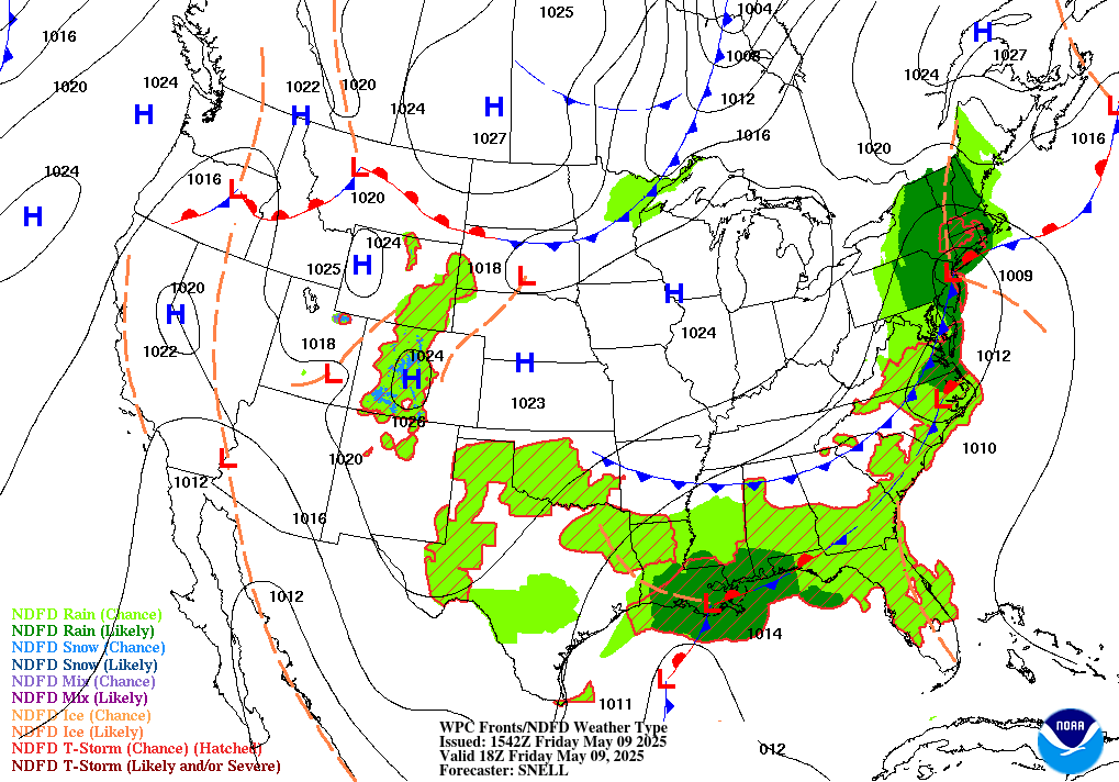
91f.gif

12 Hour Forecasted Surface Weather Map
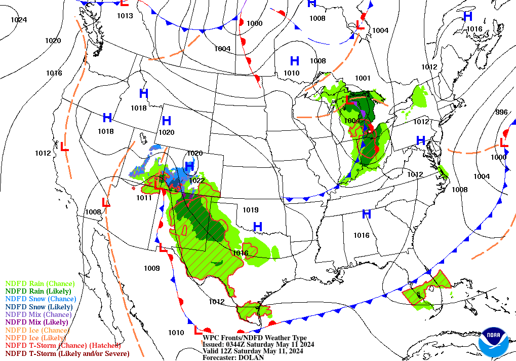
92f.gif

18 Hour Forecasted Surface Weather Map
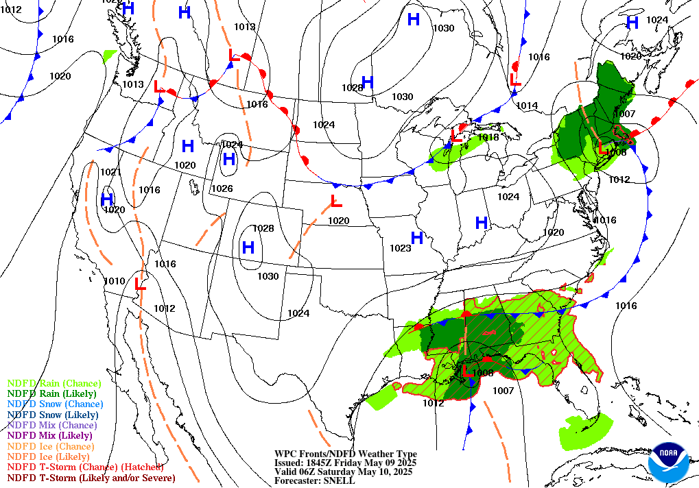
93f.gif

24 Hour Forecasted Surface Weather Map
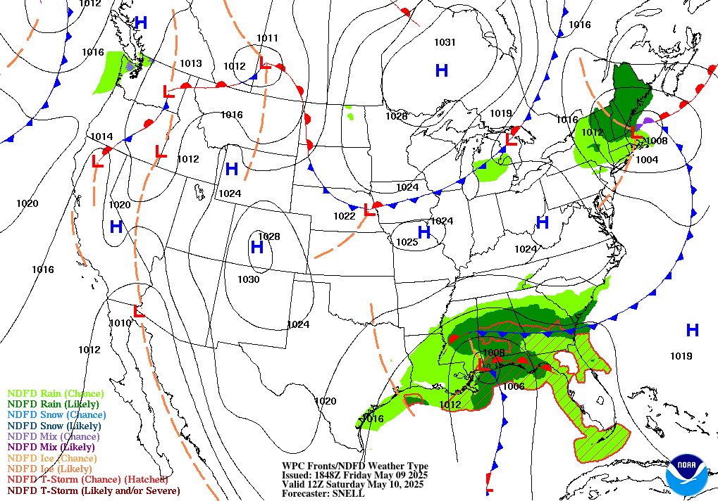
94f.gif

30 Hour Forecasted Surface Weather Map
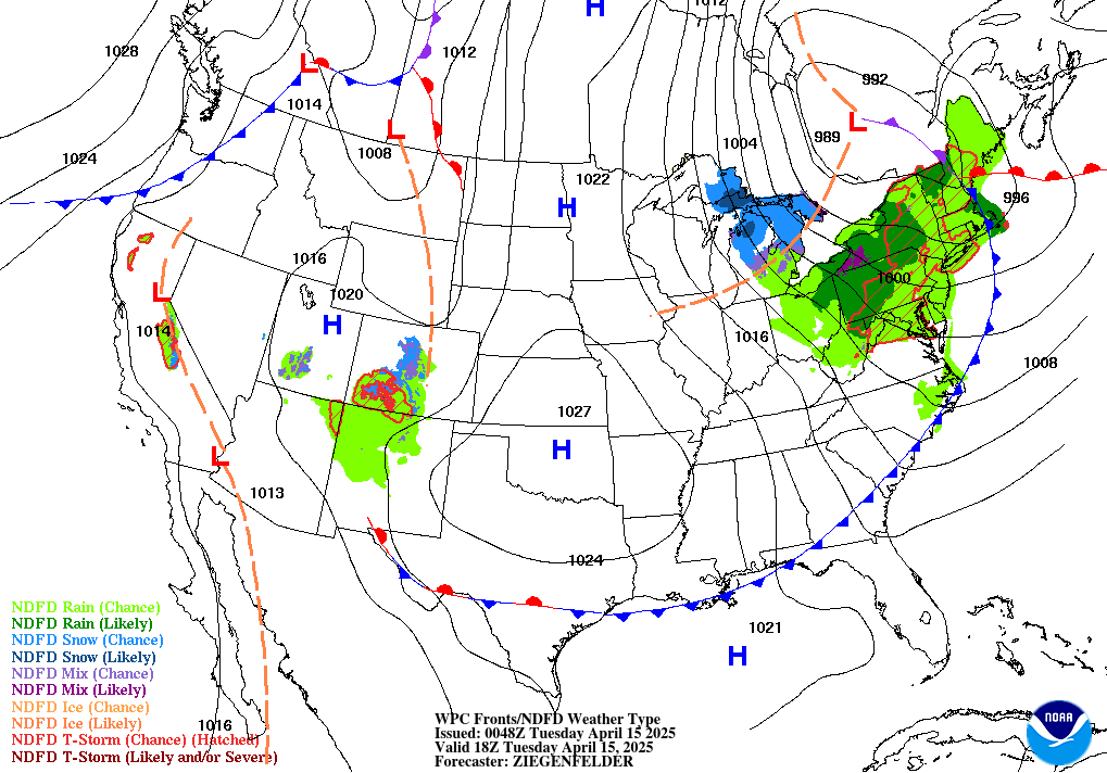
95f.gif

36 Hour Forecasted Surface Weather Map
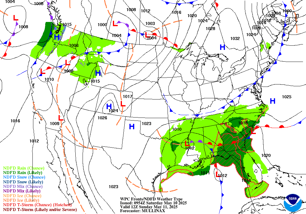
96f.gif

48 Hour Forecasted Surface Weather Map
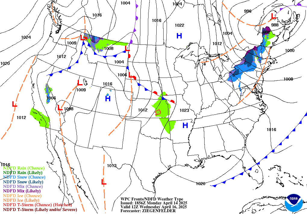
98f.gif

60 Hour Forecasted Surface Weather Map
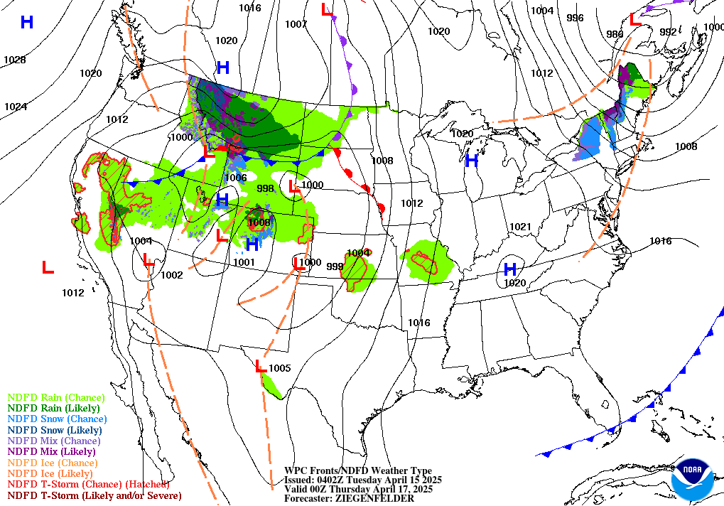
99f.gif

Extended Forecast Discussion:

Day 3 to Day 7 Forecast Surface Weather Map:

5dayfcst_wbg_conus.gif

© 2025. Website Developed by AnoLogix. Privacy | Legal | Terms of Use