Southeast Louisiana
Weather
Check below for everything about the weather for southeastern Louisiana, including surface weather maps, satellite images, radar images, forecasts, predictions, and more! All images, forecasts, and documents are courtesy of their respective publishers.
Current Weather Conditions
| New Orleans: |
Slidell: |
Baton Rouge: |
| Lafayette: |
New Iberia: |
Morgan City: |
| Houma: |
Lafourche: |
Southeastern Louisiana Weather Advisories

Area Forecast Discussion
Southwestern Louisiana/Upper Texas Coast Point Forecast Matrices
Southwestern Louisiana/Upper Texas Coast Weather Forecast
Southwestern Louisiana/Upper Texas Coast Point Forecast Matrices
Current Weather Maps
Current Surface Weather Map

Current Surface Weather Plot
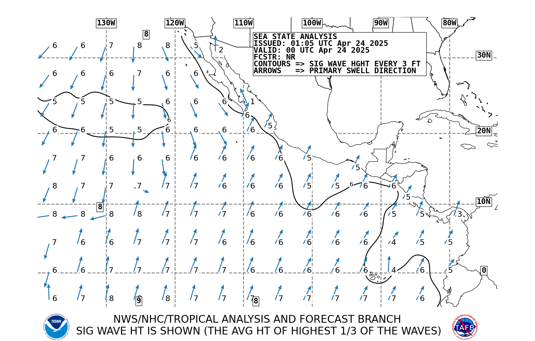
Current Surface Weather Analysis
Current Mesoscale Analysis

2 Hour Sea Level Pressure Change Chart:

Current 925 Millibar Upper Air Chart:

Current 850 Millibar Upper Air Chart:

Current 700 Millibar Upper Air Chart:

Current 500 Millibar Upper Air Chart:

Current 300 Millibar Upper Air Chart:

500 mb Upper Air Chart Overlayed On Water Vapor Satellite
Current Surface Theta-E Chart:


Current CAPE Analysis:

Current Storm Relative Helicity/Storm Motion Analysis:

Current Upper Air Sounding:

Satellite Images
Current Water Vapor Satellite Image:
Current Water Vapor Satellite Image:
Current US Water Vapor Satellite Image:
Current US Infrared Satellite Image:
Current US Visible Satellite Image:
Current Individual Radar Sites
Current Regional Radar Composite:
Today's Severe Weather Outlook:
Categorical:

Tornado Probability:

Severe Wind Probability:

Large Hail Probability:

Tomorrow's Severe Weather Outlook:
Categorical:

Probabilistic Outlook:

Severe Wind Probability:

Large Hail Probability:

Day Three's Severe Weather Outlook:
Categorical:

Probabilistic Outlook:

Day Four to Eight Severe Weather Outlook:

Quantitative Precipitation Forecast
Day 1 Precipitation Forecast

Day 2 Precipitation Forecast

Day 3 Precipitation Forecast

3 Day Precipitation Totals

Days 4 and 5 Precipitation Forecast

5 Day Precipitation Totals

Days 6 and 7 Precipitation Forecast

7 Day Precipitation Totals

Other Severe Weather Products
Current Severe Thunderstorm/Tornado Watches:

Current Mesoscale Discussions:

Storm Reports
Today's Storm Reports:

Yesterday's Storm Reports:

Short Range Forecast Discussion
6 Hour Forecasted Surface Weather Map

12 Hour Forecasted Surface Weather Map

18 Hour Forecasted Surface Weather Map

24 Hour Forecasted Surface Weather Map

30 Hour Forecasted Surface Weather Map

36 Hour Forecasted Surface Weather Map

48 Hour Forecasted Surface Weather Map

60 Hour Forecasted Surface Weather Map

Extended Forecast Discussion:
Day 3 to Day 7 Forecast Surface Weather Map:
